Summer Hill Area, Summer Hill Postcode(9210) & Map in Summer Hill
Summer Hill Area, Summer Hill Postcode(9210) & Map in Summer Hill, Clutha District, New Zealand
Summer Hill, Clutha District, New Zealand
Summer Hill Postcodes
Summer Hill Area (estimated)
21.8 square kilometersSummer Hill Population (estimated)
17 people live in Summer Hill, Otago, NZSummer Hill Suburb Area Map (Polygon)
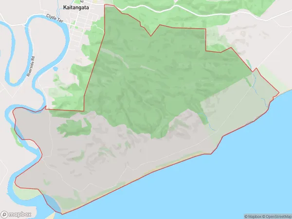
Summer Hill Introduction
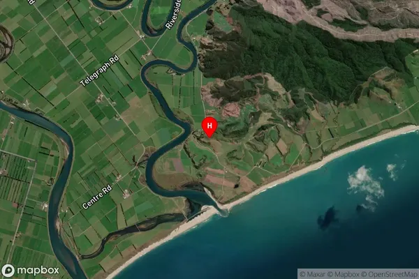
Summer Hill is a small rural community in Kaitangata, Otago, New Zealand. It is located on the banks of the Kaitangata River, approximately 10 kilometers south of Gore and 150 kilometers south of Dunedin. The area is known for its scenic views, outdoor activities, and friendly community. Summer Hill has a primary school, a post office, a convenience store, and a few small businesses. The community is surrounded by farmland and forest, and there are numerous walking and hiking trails in the area.Region
Major City
Suburb Name
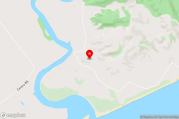
Summer HillSummer Hill Area Map (Street)
Local Authority
Clutha DistrictFull Address
Summer Hill, Clutha District, New ZealandAddress Type
Locality in Town KaitangataSummer Hill Suburb Map (Satellite)
Country
Main Region in AU
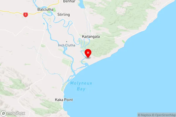
OtagoSummer Hill Region Map
Coordinates
-46.3174674,169.8397188 (latitude/longitude)Distances
The distance from Summer Hill, Kaitangata, Clutha District to NZ Top 10 Cities