Kaitangata Area, Kaitangata Postcode(9210) & Map in Kaitangata
Kaitangata Area, Kaitangata Postcode(9210) & Map in Kaitangata, Clutha District, New Zealand
Kaitangata, Clutha District, New Zealand
Kaitangata Area (estimated)
59.5 square kilometersKaitangata Population (estimated)
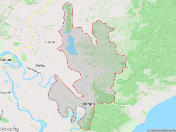
858 people live in Kaitangata, Otago, NZKaitangata Suburb Area Map (Polygon)
Kaitangata Introduction
Kaitangata is a small town in Otago, New Zealand, located on the banks of the Kaitangata River. It is known for its scenic surroundings, including the Kaitangata Cliffs and the surrounding mountains. The town has a population of around 500 people and is a popular destination for outdoor activities such as hiking, skiing, and fishing. Kaitangata also has a historic coal mining past and a small museum dedicated to the industry.Region
Major City
Suburb Name
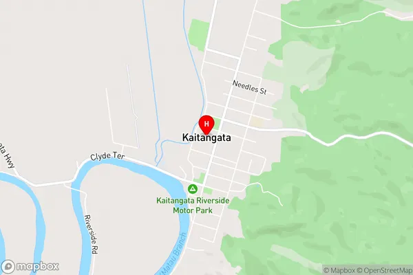
KaitangataKaitangata Area Map (Street)
Local Authority
Clutha DistrictFull Address
Kaitangata, Clutha District, New ZealandAddress Type
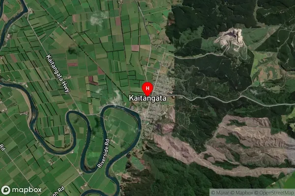
Suburb in Town KaitangataKaitangata Suburb Map (Satellite)
Country
Main Region in AU
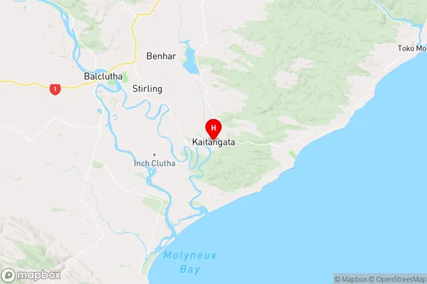
OtagoKaitangata Region Map
Coordinates
-46.2817388,169.8464139 (latitude/longitude)Distances
The distance from Kaitangata, Kaitangata, Clutha District to NZ Top 10 Cities