Waihola Suburbs & Region, Waihola Map & Postcodes in Waihola, Clutha, Otago
Waihola Postcodes, Waihola ZipCodes, Waihola , Waihola Otago, Waihola Suburbs, Waihola Region, Waihola Map, Waihola Area
Waihola Region
Waihola Suburbs
Waihola is a suburb place type in Clutha, Otago, NZ. It contains 0 suburbs or localities.Waihola district
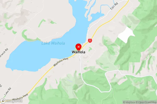
CluthaWaihola Region Map
Waihola Introduction
Waihola is a small rural community in Otago, New Zealand, located on the banks of the Waihola River. It is known for its picturesque scenery, including rolling hills, lush green forests, and stunning views of the Southern Alps. The community has a population of around 100 people and is home to a primary school, a post office, a convenience store, and a few small businesses. Waihola is a popular destination for outdoor enthusiasts, with numerous hiking and biking trails nearby. The area is also known for its trout fishing, with the Waihola River being a popular spot for anglers.Waihola Region
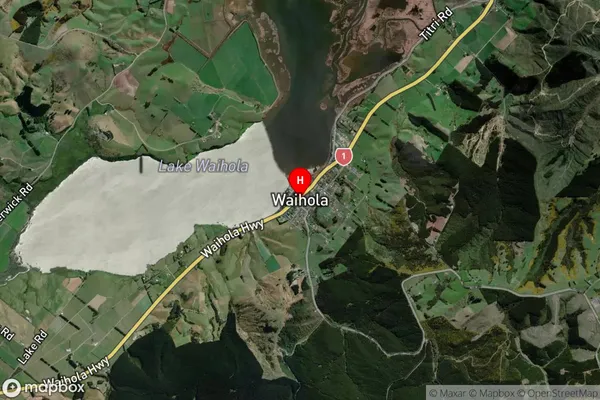
Waihola Satellite Map
Full Address
Waihola, Clutha, OtagoWaihola Coordinates
-46.023352,170.095677 (Latitude / Longitude)Waihola Map in NZ
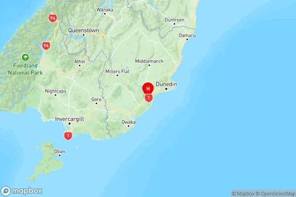
NZ Island
South IslandCountry
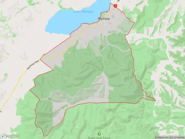
Waihola Area Map (Polygon)
Name
WaiholaAdditional Name
Local Authority
Clutha District
Waihola Suburbs (Sort by Population)
Waihola suburb has around
37.9 square
kilometers.There are more than 535 people (estimated)
live in Waihola, Outram, Otago, New Zealand.