Catlins Surrounds Suburbs & Region, Catlins Surrounds Map & Postcodes in Catlins Surrounds, Clutha, Otago

Catlins Surrounds Postcodes, Catlins Surrounds ZipCodes, Catlins Surrounds , Catlins Surrounds Otago, Catlins Surrounds Suburbs, Catlins Surrounds Region, Catlins Surrounds Map, Catlins Surrounds Area

Catlins Surrounds Region

  • Catlins Surrounds Suburbs

    Catlins Surrounds is a suburb place type in Clutha, Otago, NZ. It contains 0 suburbs or localities.
  • Catlins Surrounds district

    Clutha
  • Catlins Surrounds Region Map

    Catlins Surrounds, Otago Region Map
  • Catlins Surrounds Introduction

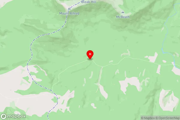
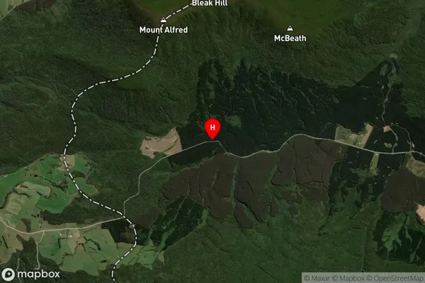
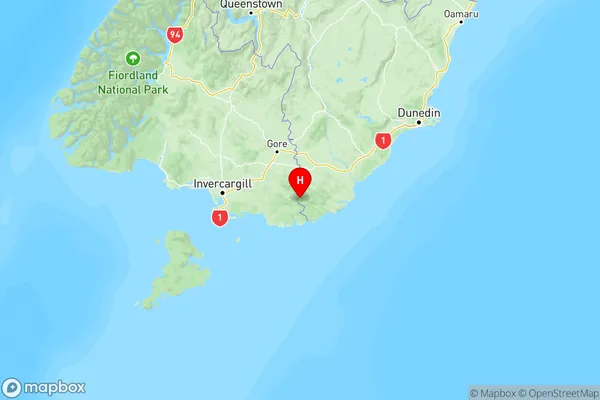
    The Catlins Surrounds is a region in the southern South Island of New Zealand known for its rugged coastline, stunning natural landscapes, and unique wildlife. It is located in the Otago region, approximately 250 kilometers south of Dunedin, and is a popular destination for tourists and outdoor enthusiasts. The region is characterized by a series of narrow, winding roads that wind their way through dense forests, coastal plains, and rocky outcrops. It is home to a variety of species of birds, including the rare yellow-eyed penguin, as well as fur seals, dolphins, and albatrosses. The area is also known for its stunning waterfalls, including the McLean Falls, which cascades 80 meters into a deep pool below. The Catlins Surrounds is a relatively undeveloped region, and much of its natural beauty remains unspoiled. It is an ideal place for hiking, camping, and exploring, and offers a peaceful and tranquil escape from the hustle and bustle of city life.
  • Catlins Surrounds Region

  • Catlins Surrounds Satellite Map

    Catlins Surrounds, Otago Satellite Map
  • Full Address

    Catlins Surrounds, Clutha, Otago
  • Catlins Surrounds Coordinates

    -46.4635834,169.1972269 (Latitude / Longitude)
  • Catlins Surrounds Map in NZ

    Catlins Surrounds, Otago Region Map
  • NZ Island

    South Island

Catlins Surrounds Suburbs (Sort by Population)

Catlins Surrounds Suburbs (Sort in alphabetical)