Lawrence Suburbs & Region, Lawrence Map & Postcodes in Lawrence, Clutha, Otago
Lawrence Postcodes, Lawrence ZipCodes, Lawrence , Lawrence Otago, Lawrence Suburbs, Lawrence Region, Lawrence Map, Lawrence Area
Lawrence Region (Otago Goldfields Region)
Lawrence Suburbs
Lawrence is a city place type in Clutha, Otago, NZ. It contains 16 suburbs or localities.Lawrence district
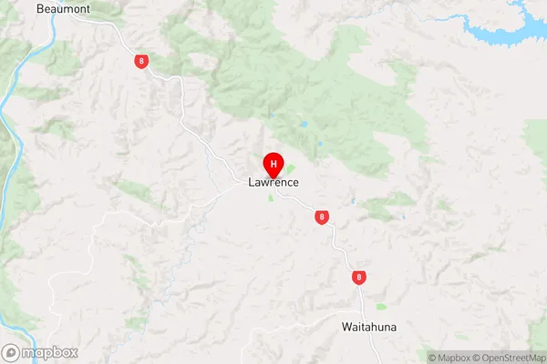
CluthaLawrence Region Map
Lawrence Introduction
Lawrence is a small town in Otago, New Zealand, located on the banks of the Clutha River. It is known for its historic stone buildings, including the Lawrence Hall, which was built in 1864. The town has a population of around 1,200 people and is a popular tourist destination, particularly during the summer months. The nearby Clutha Gold Rush Museum provides visitors with an insight into the area's rich mining history. Lawrence also has a variety of outdoor activities to enjoy, including hiking, fishing, and cycling.Lawrence Region
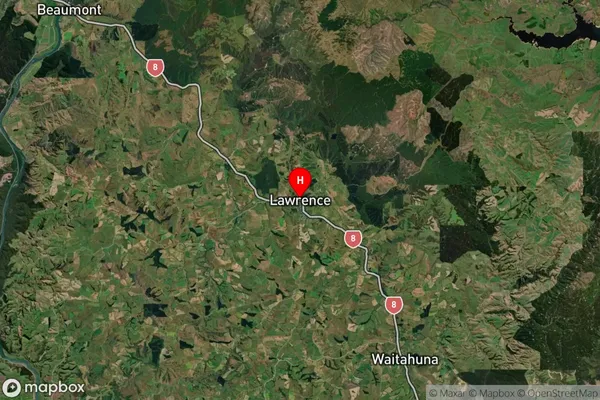
Lawrence Satellite Map
Full Address
Lawrence, Clutha, OtagoLawrence Coordinates
-45.912931,169.687001 (Latitude / Longitude)Lawrence Map in NZ
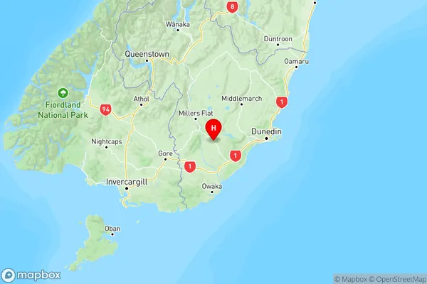
NZ Island
South IslandCountry
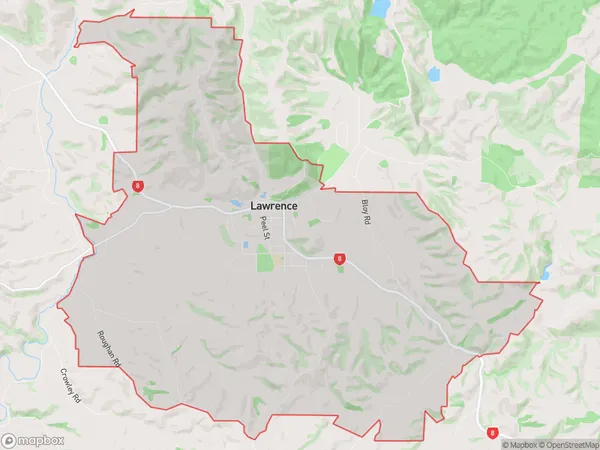
Lawrence Area Map (Polygon)
Name
LawrenceAdditional Name
Otago GoldfieldsLocal Authority
Clutha District
Lawrence Suburbs (Sort by Population)
Lawrence
Lawrence - 547Waitahuna
Waitahuna - 168Beaumont
Beaumont - 88Johnston
Johnston - 47Kononi
Kononi - 46Craigellachie
Craigellachie - 34Waitahuna West
Waitahuna West - 34Evans Flat
Evans Flat - 31Tuapeka West
Tuapeka West - 28Manuka Creek
Manuka Creek - 27Tuapeka Flat
Tuapeka Flat - 25Gabriels Gully
Gabriels Gully - 23Raes Junction
Raes Junction - 19Waitahuna Gully
Waitahuna Gully - 18Forsyth
Forsyth - 16Glendhu Forest
Glendhu Forest - 0
Lawrence Suburbs (Sort in alphabetical)
Beaumont