Waitahuna Gully Area, Waitahuna Gully Postcode & Map in Waitahuna Gully
Waitahuna Gully Area, Waitahuna Gully Postcode & Map in Waitahuna Gully, Clutha District, New Zealand
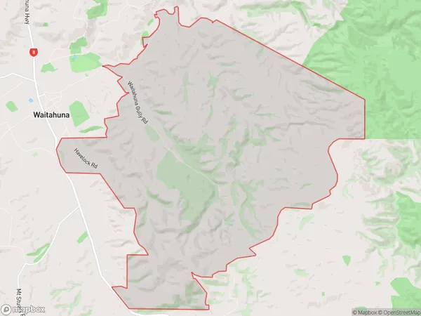
Waitahuna Gully, Clutha District, New Zealand
Waitahuna Gully Area (estimated)
32.0 square kilometersWaitahuna Gully Population (estimated)
18 people live in Waitahuna Gully, Otago, NZWaitahuna Gully Suburb Area Map (Polygon)
Waitahuna Gully Introduction
Waitahuna Gully is a valley located in the Southern Alps of New Zealand, near Lawrence. It is known for its scenic beauty, with rugged mountain terrain, waterfalls, and a river. The gully is a popular spot for hiking, mountain biking, and skiing, and has a range of accommodation options, including a lodge and a campground.Region
Major City
Suburb Name
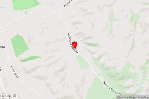
Waitahuna GullyWaitahuna Gully Area Map (Street)
Local Authority
Clutha DistrictFull Address
Waitahuna Gully, Clutha District, New ZealandAddress Type
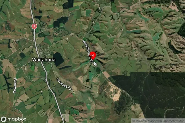
Locality in Town LawrenceWaitahuna Gully Suburb Map (Satellite)
Country
Main Region in AU
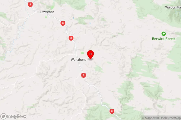
OtagoWaitahuna Gully Region Map
Coordinates
-45.9897163,169.7862554 (latitude/longitude)Distances
The distance from Waitahuna Gully, Lawrence, Clutha District to NZ Top 10 Cities