Raes Junction Area, Raes Junction Postcode(9588) & Map in Raes Junction, Central Otago District
Raes Junction Area, Raes Junction Postcode(9588) & Map in Raes Junction, Central Otago District, Clutha District, New Zealand
Raes Junction, Central Otago District, Clutha District, New Zealand
Raes Junction Postcodes
Raes Junction Area (estimated)
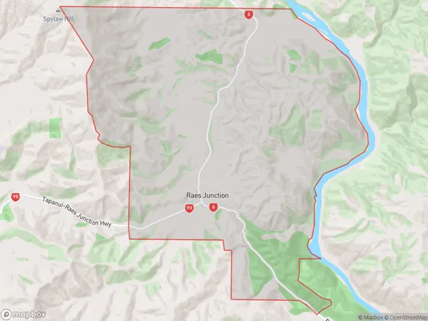
33.9 square kilometersRaes Junction Population (estimated)
19 people live in Raes Junction, Teviot Valley Community, NZRaes Junction Suburb Area Map (Polygon)
Raes Junction Introduction
Raes Junction is a small rural community located in the Lawrence district of Otago, New Zealand. It is situated on the banks of the Raes River, approximately 10 kilometers south of Lawrence and 120 kilometers north of Dunedin. The area is known for its scenic countryside, with rolling hills and picturesque farms. Raes Junction has a primary school, a post office, and a small supermarket. The community is surrounded by beautiful natural attractions, including the Taieri River, Mount Aspiring National Park, and the Otago Central Rail Trail.Region
Major City
Suburb Name
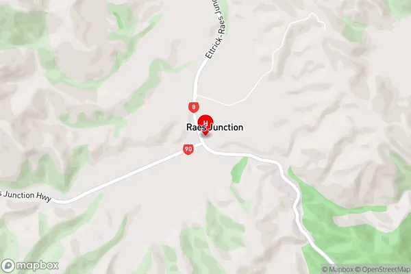
Raes JunctionRaes Junction Area Map (Street)
Local Authority
Central Otago District, Clutha DistrictFull Address
Raes Junction, Central Otago District, Clutha District, New ZealandAddress Type
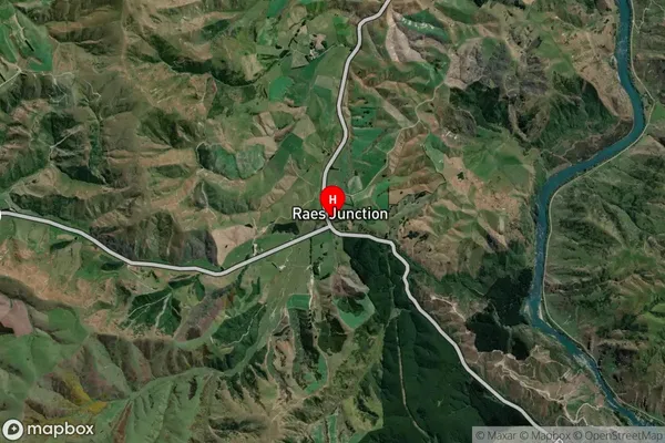
Locality in Town LawrenceRaes Junction Suburb Map (Satellite)
Country
Main Region in AU
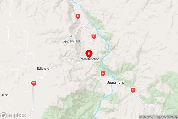
OtagoRaes Junction Region Map
Coordinates
-45.7852127,169.4681778 (latitude/longitude)Distances
The distance from Raes Junction, Lawrence, Central Otago District, Clutha District to NZ Top 10 Cities