Tuapeka West Area, Tuapeka West Postcode & Map in Tuapeka West
Tuapeka West Area, Tuapeka West Postcode & Map in Tuapeka West, Clutha District, New Zealand
Tuapeka West, Clutha District, New Zealand
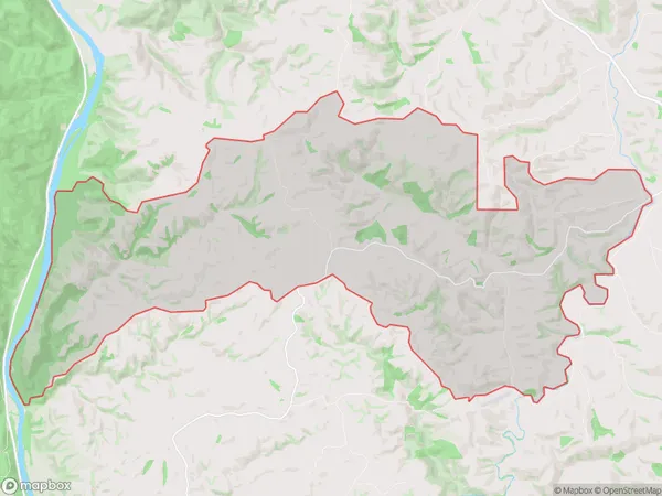
Tuapeka West Area (estimated)
54.5 square kilometersTuapeka West Population (estimated)
28 people live in Tuapeka West, Otago, NZTuapeka West Suburb Area Map (Polygon)
Tuapeka West Introduction
Tuapeka West is a small rural community in Lawrence, Otago, New Zealand. It is located on the banks of the Tuapeka River, approximately 20 kilometers west of Lawrence. The area is known for its scenic rural landscapes, with rolling hills, farmland, and picturesque gardens. The community has a primary school, a post office, and a small supermarket. Tuapeka West is a popular destination for outdoor enthusiasts, with numerous hiking and cycling trails in the surrounding area. The community also hosts a annual sheep shearing competition, which is a major event in the local calendar.Region
Major City
Suburb Name
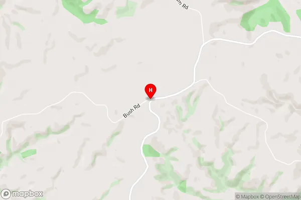
Tuapeka WestTuapeka West Area Map (Street)
Local Authority
Clutha DistrictFull Address
Tuapeka West, Clutha District, New ZealandAddress Type
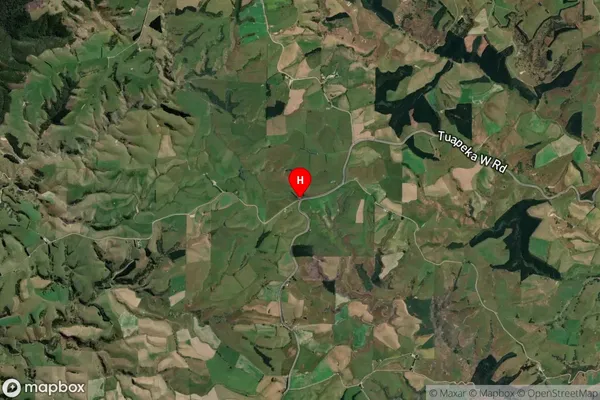
Locality in Town LawrenceTuapeka West Suburb Map (Satellite)
Country
Main Region in AU
OtagoTuapeka West Region Map

Coordinates
-45.9361511,169.551378 (latitude/longitude)Distances
The distance from Tuapeka West, Lawrence, Clutha District to NZ Top 10 Cities