Manuka Creek Area, Manuka Creek Postcode & Map in Manuka Creek
Manuka Creek Area, Manuka Creek Postcode & Map in Manuka Creek, Clutha District, New Zealand
Manuka Creek, Clutha District, New Zealand
Manuka Creek Area (estimated)
54.6 square kilometersManuka Creek Population (estimated)
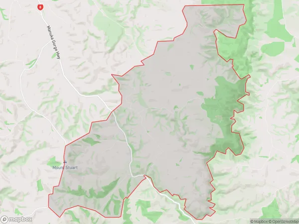
27 people live in Manuka Creek, Otago, NZManuka Creek Suburb Area Map (Polygon)
Manuka Creek Introduction
Manuka Creek is a small, slow-moving stream located in the Lawrence area of Otago, New Zealand. It is known for its unique manuka (Leptospermum scoparium) trees, which produce a honey-like substance that has medicinal properties. The creek has a narrow, winding course and is surrounded by native bush, making it a popular spot for hiking and nature walks. The area is also home to a variety of bird species, including the kereru (New Zealand pigeon), which is native to New Zealand.Region
Major City
Suburb Name
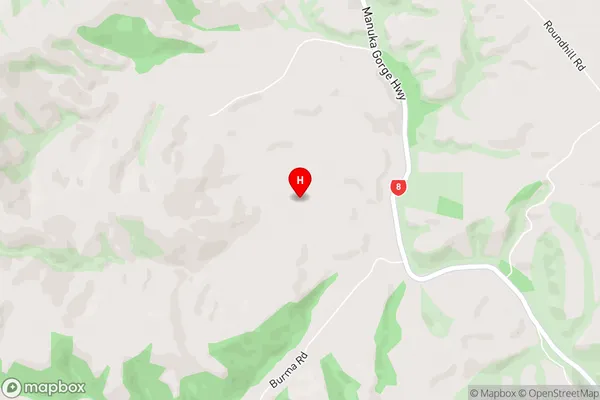
Manuka CreekManuka Creek Area Map (Street)
Local Authority
Clutha DistrictFull Address
Manuka Creek, Clutha District, New ZealandAddress Type
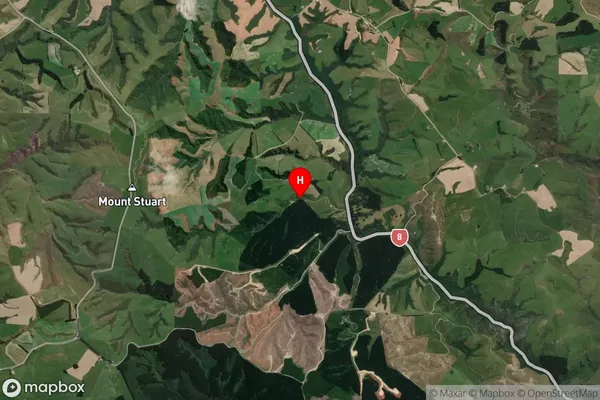
Locality in Town LawrenceManuka Creek Suburb Map (Satellite)
Country
Main Region in AU
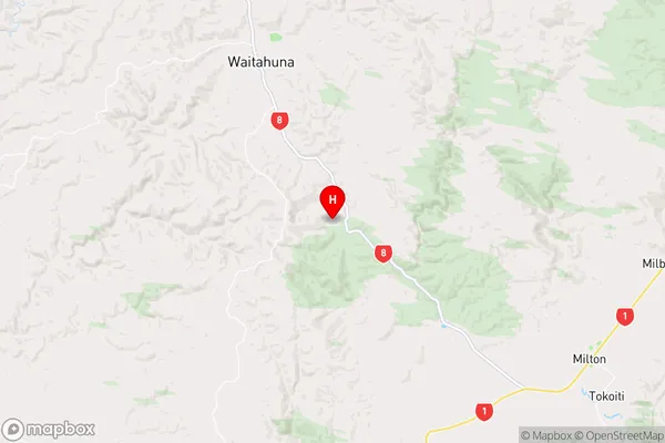
OtagoManuka Creek Region Map
Coordinates
-46.0576872,169.8033142 (latitude/longitude)Distances
The distance from Manuka Creek, Lawrence, Clutha District to NZ Top 10 Cities