Tuapeka Flat Area, Tuapeka Flat Postcode & Map in Tuapeka Flat
Tuapeka Flat Area, Tuapeka Flat Postcode & Map in Tuapeka Flat, Clutha District, New Zealand
Tuapeka Flat, Clutha District, New Zealand
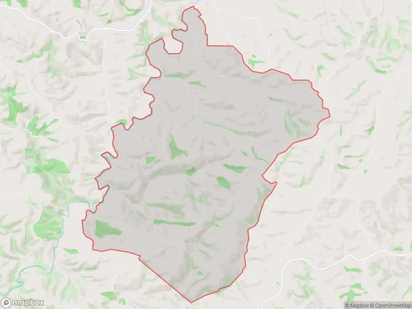
Tuapeka Flat Area (estimated)
32.7 square kilometersTuapeka Flat Population (estimated)
25 people live in Tuapeka Flat, Otago, NZTuapeka Flat Suburb Area Map (Polygon)

Tuapeka Flat Introduction
Tuapeka Flat is a historic area in Lawrence, Otago, New Zealand. It was once a thriving gold mining town, but today it is a peaceful residential area with a rich history and stunning natural surroundings. The flat is located on the banks of the Tuapeka River, and it was the site of the first gold discovery in New Zealand in 1861. The area has a variety of historic buildings, including the Tuapeka Gold Mine Museum, which showcases the area's mining history and features exhibits on the techniques used to extract gold from the river.Region
Major City
Suburb Name
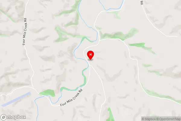
Tuapeka FlatTuapeka Flat Area Map (Street)

Local Authority
Clutha DistrictFull Address
Tuapeka Flat, Clutha District, New ZealandAddress Type
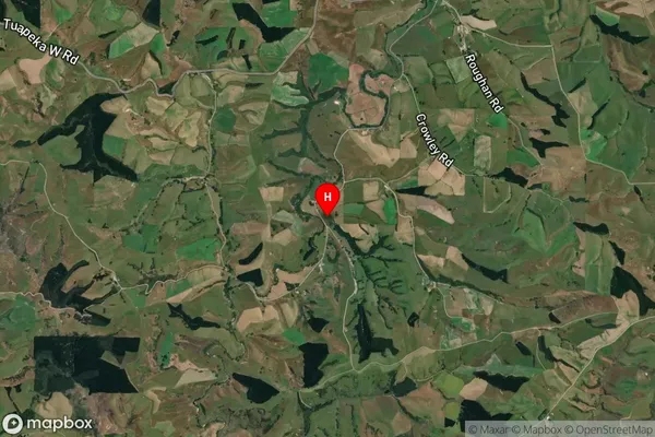
Locality in Town LawrenceTuapeka Flat Suburb Map (Satellite)

Country
Main Region in AU
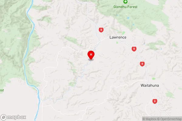
OtagoTuapeka Flat Region Map

Coordinates
-45.9497471,169.6260309 (latitude/longitude)Distances
The distance from Tuapeka Flat, Lawrence, Clutha District to NZ Top 10 Cities