Gabriels Gully Area, Gabriels Gully Postcode(9532) & Map in Gabriels Gully
Gabriels Gully Area, Gabriels Gully Postcode(9532) & Map in Gabriels Gully, Clutha District, New Zealand
Gabriels Gully, Clutha District, New Zealand
Gabriels Gully Postcodes
Gabriels Gully Area (estimated)
27.0 square kilometersGabriels Gully Population (estimated)
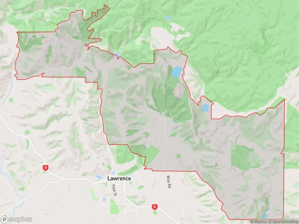
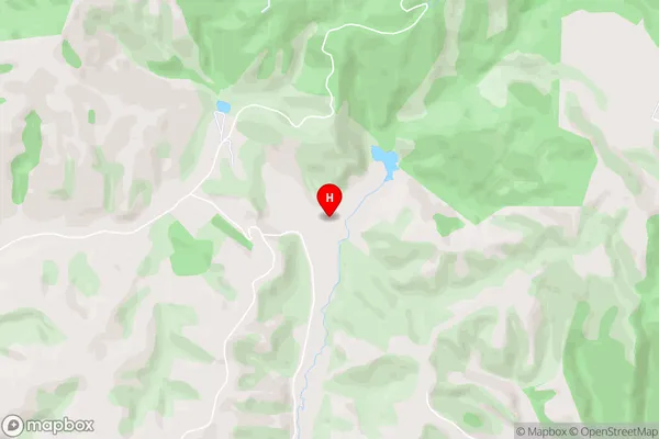
23 people live in Gabriels Gully, Otago, NZGabriels Gully Suburb Area Map (Polygon)
Gabriels Gully Introduction
Gabriels Gully is a small rural community located in the Lawrence district of Otago, New Zealand. It is situated on the banks of the Clutha River, approximately 10 kilometers south of Lawrence and 120 kilometers south of Dunedin. The community has a population of around 100 people and is known for its scenic surroundings and peaceful atmosphere. The area is popular with outdoor enthusiasts, with many opportunities for hiking, fishing, and hunting. Gabriels Gully also has a small primary school and a community hall, which hosts regular events and gatherings.Region
Major City
Suburb Name
Gabriels GullyOther Name(s)
Blue Spur, Otago Goldfields, WetherstonsGabriels Gully Area Map (Street)
Local Authority
Clutha DistrictFull Address
Gabriels Gully, Clutha District, New ZealandAddress Type
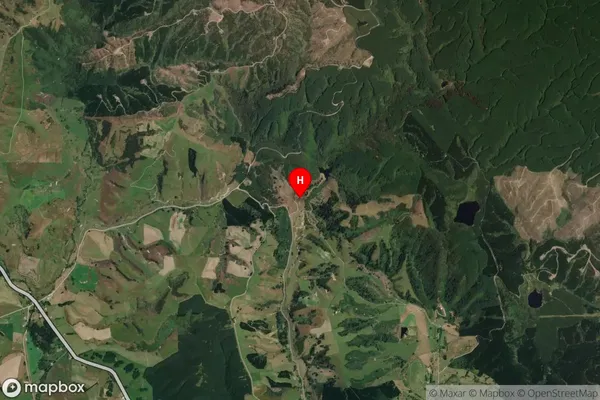
Locality in Town LawrenceGabriels Gully Suburb Map (Satellite)
Country
Main Region in AU
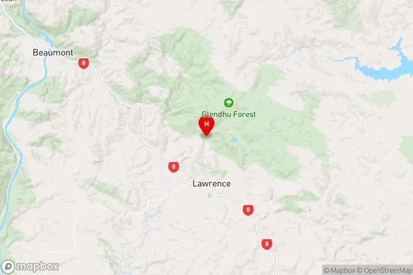
OtagoGabriels Gully Region Map
Coordinates
-45.8810609,169.6818852 (latitude/longitude)Distances
The distance from Gabriels Gully, Lawrence, Clutha District to NZ Top 10 Cities