Alexandra Suburbs & Region, Alexandra Map & Postcodes in Alexandra, Central Otago / Lakes District, Otago, South Island, New Zealand
Alexandra Postcodes, Alexandra ZipCodes, Alexandra , Alexandra Otago, Alexandra Suburbs, Alexandra Region, Alexandra Map, Alexandra Area
Alexandra Region
Alexandra Suburbs
Alexandra is a suburb place type in Central Otago / Lakes District, Otago, South Island, New Zealand, NZ. It contains 14 suburbs or localities.Alexandra Postcodes
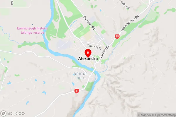
Alexandra Region Map
Alexandra Introduction
Otago is a region in New Zealand's South Island. It is well-known for its stunning scenery, including mountains, lakes, and glaciers. Alexandra is a small town located in Otago, known for its historic buildings and vibrant community. It was founded in 1865 and is named after Queen Alexandra of Denmark. The town has a population of around 3,000 people and is home to a variety of businesses, including a hotel, a museum, and a golf course. Alexandra is also a popular tourist destination, with many visitors coming to explore the town's historic buildings and scenic surroundings.Alexandra Region
Alexandra City
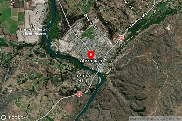
Alexandra Satellite Map
Full Address
Alexandra, Central Otago / Lakes District, Otago, South Island, New ZealandAlexandra Coordinates
-45.253568,169.387084 (Latitude / Longitude)Alexandra Map in NZ
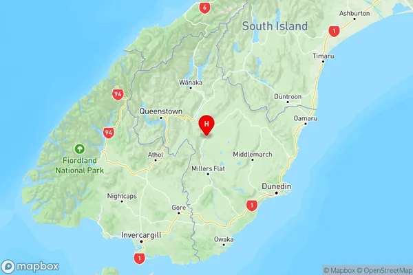
NZ Island
South IslandCountry
Alexandra Suburbs (Sort by Population)
Alexandra
Alexandra - 5662Bridge Hill
Bridge Hill - 952Springvale
Springvale - 602Earnscleugh
Earnscleugh - 512Letts Gully
Letts Gully - 316Galloway
Galloway - 261Blackmans
Blackmans - 155Waikerikeri
Waikerikeri - 126Chatto Creek
Chatto Creek - 110Little Valley
Little Valley - 104Conroys Gully
Conroys Gully - 74Fruitlands
Fruitlands - 68Butchers Gully
Butchers Gully - 15Fraser Dam
Fraser Dam - 10