Conroys Gully Area, Conroys Gully Postcode & Map in Conroys Gully
Conroys Gully Area, Conroys Gully Postcode & Map in Conroys Gully, Central Otago District, New Zealand
Conroys Gully, Central Otago District, New Zealand
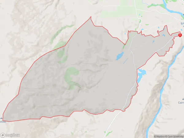
Conroys Gully Area (estimated)
63.7 square kilometersConroys Gully Population (estimated)
74 people live in Conroys Gully, Vincent Community, NZConroys Gully Suburb Area Map (Polygon)
Conroys Gully Introduction
Conroys Gully is a small rural community located in the Alexandra District of Otago, New Zealand. It is situated on the banks of the Clutha River, approximately 10 kilometers south of Alexandra and 120 kilometers north of Dunedin. The area is known for its scenic beauty, with rolling hills, lush green valleys, and picturesque farmland. The community has a small population of around 100 people, with a mix of farming and residential properties. Conroys Gully has a primary school, a post office, and a convenience store. The area is popular with outdoor enthusiasts, with numerous hiking and cycling trails nearby.Region
Major City
Suburb Name
Conroys GullyConroys Gully Area Map (Street)
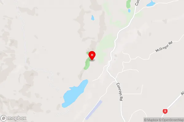
Local Authority
Central Otago DistrictFull Address
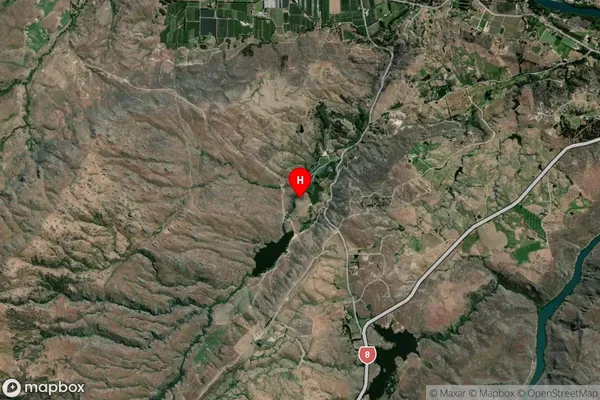
Conroys Gully, Central Otago District, New ZealandAddress Type
Locality in Town AlexandraConroys Gully Suburb Map (Satellite)
Country
Main Region in AU
OtagoConroys Gully Region Map
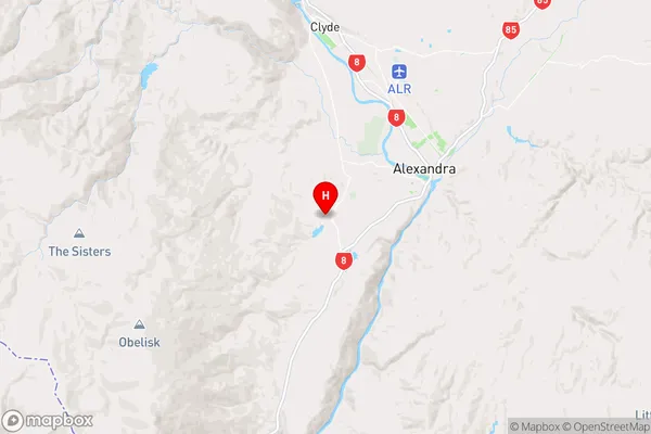
Coordinates
-45.2751127,169.3245077 (latitude/longitude)Distances
The distance from Conroys Gully, Alexandra, Central Otago District to NZ Top 10 Cities