Chatto Creek Area, Chatto Creek Postcode(9393) & Map in Chatto Creek
Chatto Creek Area, Chatto Creek Postcode(9393) & Map in Chatto Creek, Central Otago District, New Zealand
Chatto Creek, Central Otago District, New Zealand
Chatto Creek Postcodes
Chatto Creek Area (estimated)
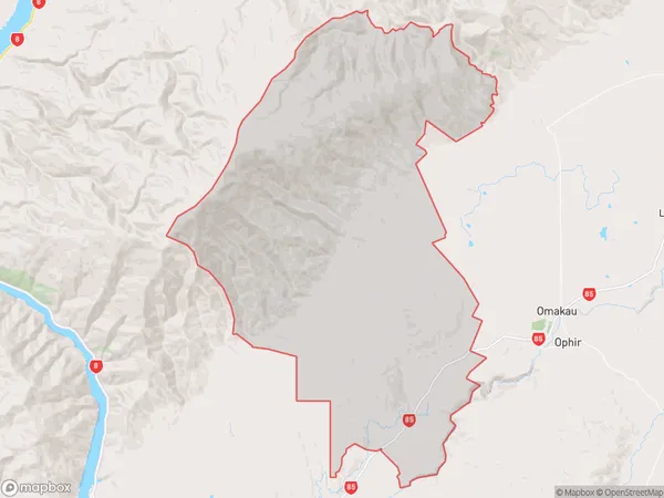
256.9 square kilometersChatto Creek Population (estimated)
110 people live in Chatto Creek, Vincent Community, NZChatto Creek Suburb Area Map (Polygon)
Chatto Creek Introduction
Chatto Creek is a small rural town in Otago, New Zealand, located on the banks of the Chatto River. It is known for its scenic beauty, with lush green hills and picturesque views of the surrounding countryside. The town has a population of around 100 people and is a popular destination for outdoor activities such as hiking, fishing, and hunting. It is also home to a historic church and a small museum.Region
Major City
Suburb Name
Chatto CreekOther Name(s)
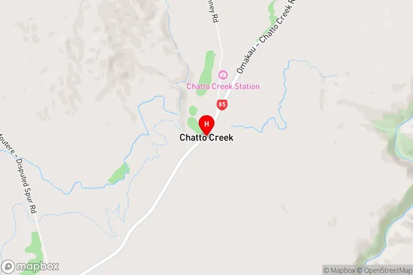
Otago GoldfieldsChatto Creek Area Map (Street)
Local Authority
Central Otago DistrictFull Address
Chatto Creek, Central Otago District, New ZealandAddress Type
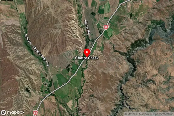
Locality in Town AlexandraChatto Creek Suburb Map (Satellite)
Country
Main Region in AU
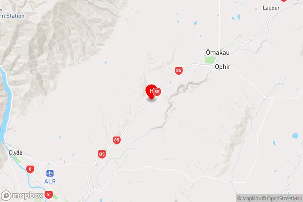
OtagoChatto Creek Region Map
Coordinates
-45.1409431,169.5092569 (latitude/longitude)Distances
The distance from Chatto Creek, Alexandra, Central Otago District to NZ Top 10 Cities