Earnscleugh Area, Earnscleugh Postcode(9330) & Map in Earnscleugh
Earnscleugh Area, Earnscleugh Postcode(9330) & Map in Earnscleugh, Central Otago District, New Zealand
Earnscleugh, Central Otago District, New Zealand
Earnscleugh Postcodes
Earnscleugh Area (estimated)
29.8 square kilometersEarnscleugh Population (estimated)
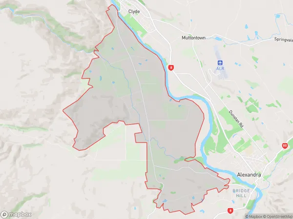
512 people live in Earnscleugh, Vincent Community, NZEarnscleugh Suburb Area Map (Polygon)
Earnscleugh Introduction
Earnscleugh is a small rural community located in the Otago region of New Zealand. It is situated on the banks of the Clutha River, approximately 20 kilometers south of Dunedin. The area is known for its scenic landscapes, including rolling hills, farmland, and picturesque gardens. Earnscleugh has a population of around 100 people and is home to a primary school, a church, and a small convenience store. The community is surrounded by stunning natural attractions, including the Otago Peninsula, Mount Cargill, and the Blue Mountains.Region
Major City
Suburb Name
EarnscleughOther Name(s)
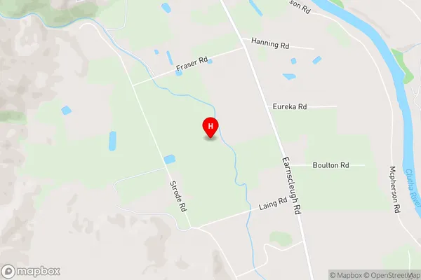
Otago GoldfieldsEarnscleugh Area Map (Street)
Local Authority
Central Otago DistrictFull Address
Earnscleugh, Central Otago District, New ZealandAddress Type
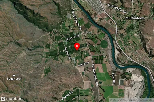
Locality in Town AlexandraEarnscleugh Suburb Map (Satellite)
Country
Main Region in AU
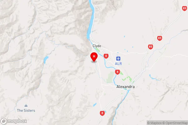
OtagoEarnscleugh Region Map
Coordinates
-45.2162322,169.3178745 (latitude/longitude)Distances
The distance from Earnscleugh, Alexandra, Central Otago District to NZ Top 10 Cities