Waikerikeri Area, Waikerikeri Postcode & Map in Waikerikeri
Waikerikeri Area, Waikerikeri Postcode & Map in Waikerikeri, Central Otago District, New Zealand
Waikerikeri, Central Otago District, New Zealand
Waikerikeri Area (estimated)
75.8 square kilometersWaikerikeri Population (estimated)
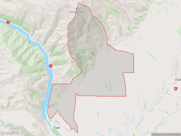
126 people live in Waikerikeri, Vincent Community, NZWaikerikeri Suburb Area Map (Polygon)
Waikerikeri Introduction
Waikerikeri is a small town in Otago, New Zealand, located on the banks of the Waikato River. It is known for its beautiful natural surroundings, including the Waikato River, Waikato Heads, and the surrounding hills. The town has a population of around 1,000 people and is a popular destination for tourists and outdoor enthusiasts. It is also home to a number of historic buildings, including the Waikerikeri Mission House and the Waikerikeri Hotel.Region
Major City
Suburb Name
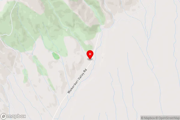
WaikerikeriWaikerikeri Area Map (Street)
Local Authority
Central Otago DistrictFull Address
Waikerikeri, Central Otago District, New ZealandAddress Type
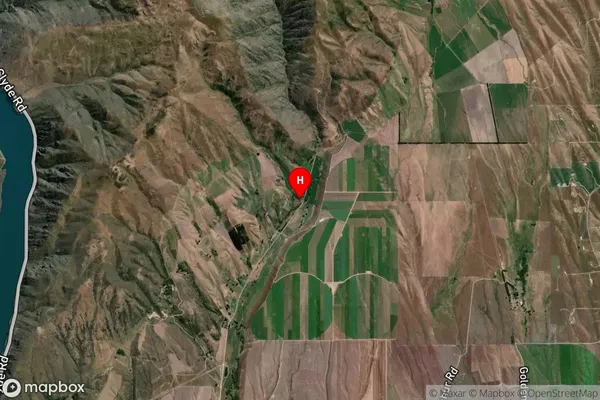
Locality in Town AlexandraWaikerikeri Suburb Map (Satellite)
Country
Main Region in AU
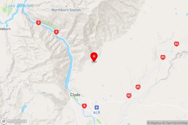
OtagoWaikerikeri Region Map
Coordinates
-45.1405348,169.3653202 (latitude/longitude)Distances
The distance from Waikerikeri, Alexandra, Central Otago District to NZ Top 10 Cities