Galloway Area, Galloway Postcode & Map in Galloway
Galloway Area, Galloway Postcode & Map in Galloway, Central Otago District, New Zealand
Galloway, Central Otago District, New Zealand
Galloway Area (estimated)
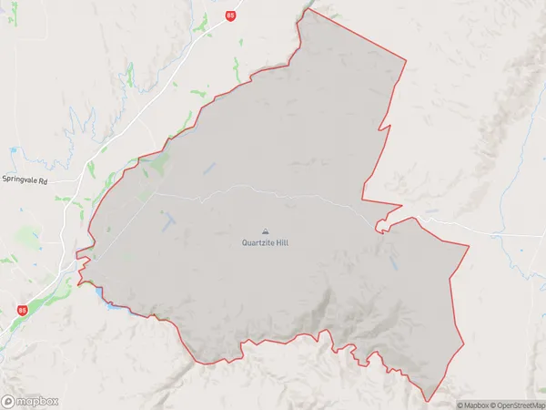
119.4 square kilometersGalloway Population (estimated)
261 people live in Galloway, Vincent Community, NZGalloway Suburb Area Map (Polygon)
Galloway Introduction
Galloway is a small rural township in Otago, New Zealand, located 12 km south of Dunedin city. It is known for its scenic surroundings, including the Galloway Forest Park and the Taieri River. The population is around 1,000 people, and the township has a primary school, a post office, and a small supermarket.Region
Major City
Suburb Name
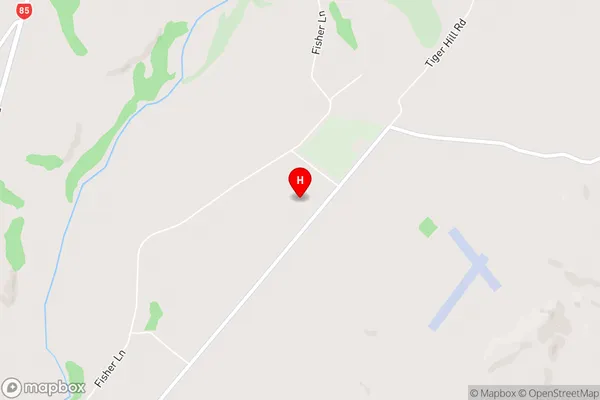
GallowayGalloway Area Map (Street)
Local Authority
Central Otago DistrictFull Address
Galloway, Central Otago District, New ZealandAddress Type
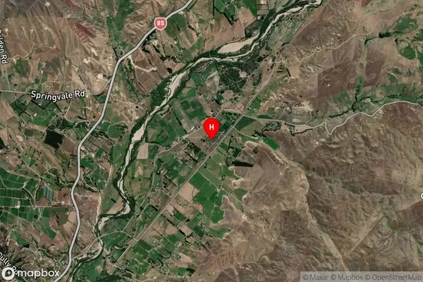
Locality in Town AlexandraGalloway Suburb Map (Satellite)
Country
Main Region in AU
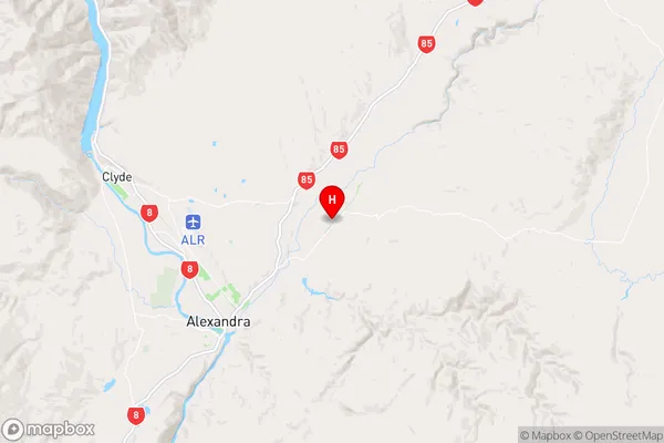
OtagoGalloway Region Map
Coordinates
-45.2099648,169.4575667 (latitude/longitude)Distances
The distance from Galloway, Alexandra, Central Otago District to NZ Top 10 Cities