Butchers Gully Area, Butchers Gully Postcode & Map in Butchers Gully
Butchers Gully Area, Butchers Gully Postcode & Map in Butchers Gully, Central Otago District, New Zealand
Butchers Gully, Central Otago District, New Zealand
Butchers Gully Area (estimated)
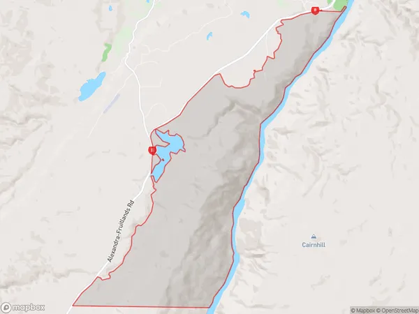
13.9 square kilometersButchers Gully Population (estimated)
15 people live in Butchers Gully, Vincent Community, NZButchers Gully Suburb Area Map (Polygon)
Butchers Gully Introduction
Butchers Gully is a small rural community located in the Alexandra District of Otago, New Zealand. It is situated on the banks of the Clutha River, approximately 10 kilometers south of Alexandra and 120 kilometers north of Dunedin. The community is known for its scenic surroundings, including the surrounding mountains and farmland. The primary industry in the area is farming, with sheep and beef being the main crops grown. The community has a small school, a post office, a convenience store, and a few housing units.Region
Major City
Suburb Name
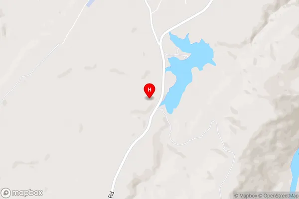
Butchers GullyButchers Gully Area Map (Street)
Local Authority
Central Otago DistrictFull Address
Butchers Gully, Central Otago District, New ZealandAddress Type
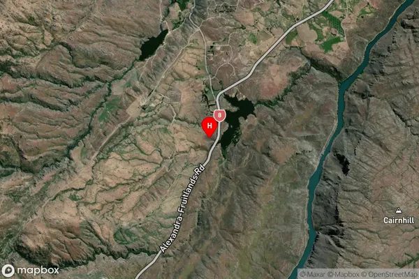
Locality in Town AlexandraButchers Gully Suburb Map (Satellite)
Country
Main Region in AU
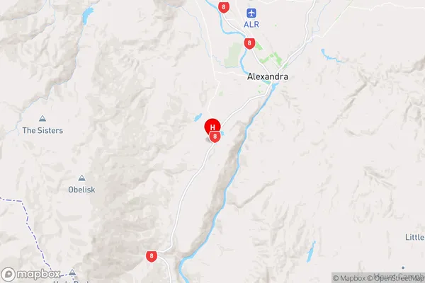
OtagoButchers Gully Region Map
Coordinates
-45.2979994,169.3335629 (latitude/longitude)Distances
The distance from Butchers Gully, Alexandra, Central Otago District to NZ Top 10 Cities