Oxford Suburbs & Region, Oxford Map & Postcodes in Oxford, Waimakariri, Canterbury
Oxford Postcodes, Oxford ZipCodes, Oxford , Oxford Canterbury, Oxford Suburbs, Oxford Region, Oxford Map, Oxford Area
Oxford Region (Gammans Creek, The Warren Region)
Oxford Suburbs
Oxford is a city place type in Waimakariri, Canterbury, NZ. It contains 7 suburbs or localities.Oxford district
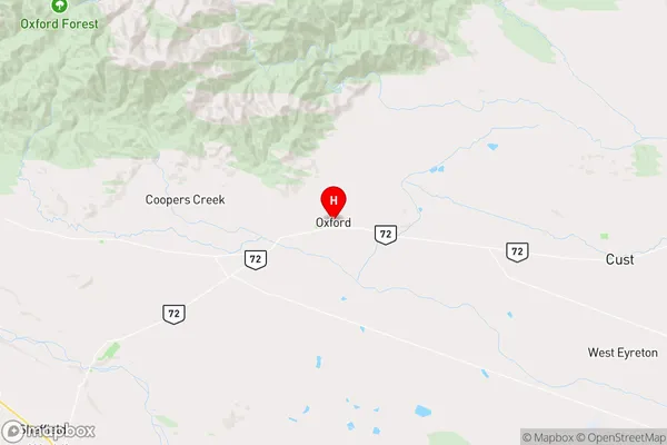
WaimakaririOxford Region Map
Oxford Introduction
Oxford, Canterbury, New Zealand, is a small town located in the Canterbury region of the South Island. It is known for its historic buildings, including the Oxford Town Hall and St. Paul's Cathedral, and for its scenic surroundings, including the Avon River and the Southern Alps. The town has a population of around 10,000 people and is a popular tourist destination. It is also home to a number of educational institutions, including the University of Canterbury and Lincoln University.Oxford Region
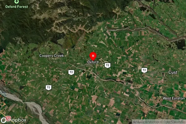
Oxford Satellite Map
Full Address
Oxford, Waimakariri, CanterburyOxford Coordinates
-43.294558,172.201084 (Latitude / Longitude)Oxford Map in NZ
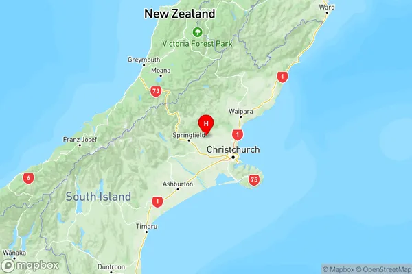
NZ Island
South IslandCountry
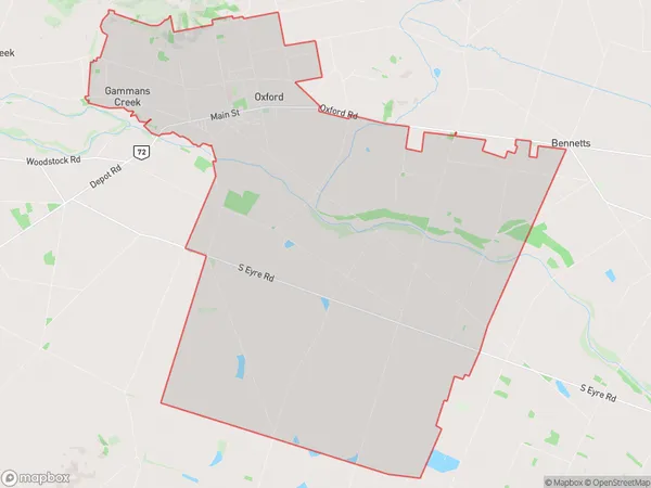
Oxford Area Map (Polygon)
Name
OxfordAdditional Name
Gammans Creek, The WarrenLocal Authority
Waimakariri District
Oxford Suburbs (Sort by Population)
Oxford
Oxford - 2923Burnt Hill
Burnt Hill - 540Starvation Hill
Starvation Hill - 415View Hill
View Hill - 385Coopers Creek
Coopers Creek - 144Glentui
Glentui - 119Lees Valley
Lees Valley - 21