Burnt Hill Area, Burnt Hill Postcode(8061) & Map in Burnt Hill, Selwyn District
Burnt Hill Area, Burnt Hill Postcode(8061) & Map in Burnt Hill, Selwyn District, Waimakariri District, New Zealand
Burnt Hill, Selwyn District, Waimakariri District, New Zealand
Burnt Hill Postcodes
Burnt Hill Area (estimated)
94.0 square kilometersBurnt Hill Population (estimated)
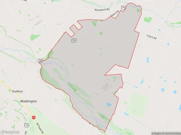
540 people live in Burnt Hill, Canterbury, NZBurnt Hill Suburb Area Map (Polygon)
Burnt Hill Introduction
Burnt Hill is a rural locality in the Oxford-Canterbury region of New Zealand's South Island. It is located on the banks of the Rakaia River, approximately 15 kilometers southeast of Oxford. The area was first settled in the 1840s by German settlers, and the name "Burnt Hill" comes from a burnt hill that was visible from the river. The village has a population of around 100 people and is known for its scenic countryside and historic buildings.Region
Major City
Suburb Name
Burnt HillOther Name(s)
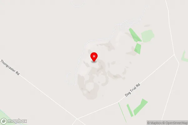
BexleyBurnt Hill Area Map (Street)
Local Authority
Selwyn District, Waimakariri DistrictFull Address
Burnt Hill, Selwyn District, Waimakariri District, New ZealandAddress Type
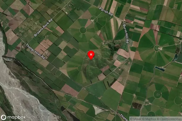
Locality in Town OxfordBurnt Hill Suburb Map (Satellite)
Country
Main Region in AU
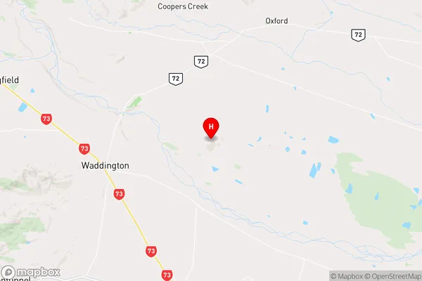
CanterburyBurnt Hill Region Map
Coordinates
-43.379639,172.136917 (latitude/longitude)Distances
The distance from Burnt Hill, Oxford, Selwyn District, Waimakariri District to NZ Top 10 Cities