Oxford Area, Oxford Postcode(7430) & Map in Oxford
Oxford Area, Oxford Postcode(7430) & Map in Oxford, Waimakariri District, New Zealand
Oxford, Waimakariri District, New Zealand
Oxford Area (estimated)
96.4 square kilometersOxford Population (estimated)
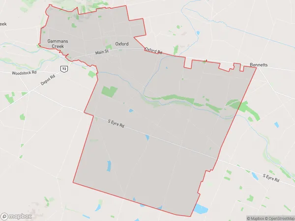
2923 people live in Oxford, Canterbury, NZOxford Suburb Area Map (Polygon)
Oxford Introduction
Oxford is a small town in the Canterbury region of New Zealand. It is known for its historic buildings, including the Oxford Town Hall and St. Peter's Church. The town has a population of around 1,200 people and is located on the banks of the Hurunui River. It is a popular tourist destination and is home to several wineries and restaurants.Region
Major City
Suburb Name
OxfordOther Name(s)
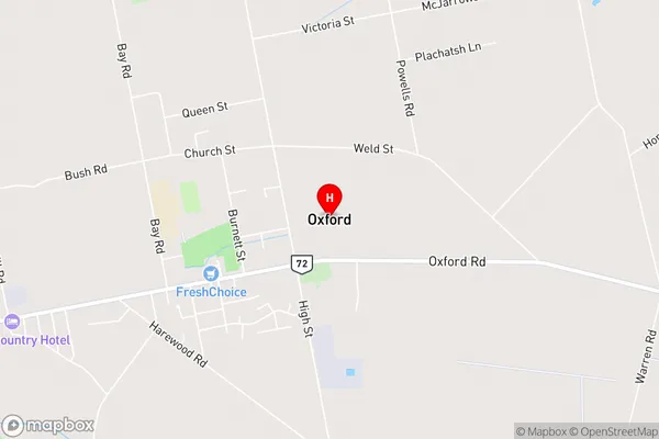
Gammans Creek, The WarrenOxford Area Map (Street)
Local Authority
Waimakariri DistrictFull Address
Oxford, Waimakariri District, New ZealandAddress Type
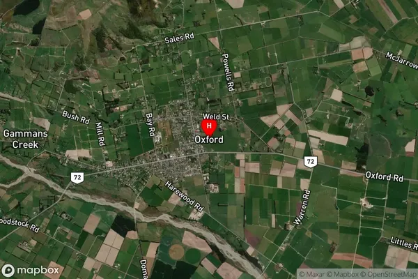
Suburb in Town OxfordOxford Suburb Map (Satellite)
Country
Main Region in AU
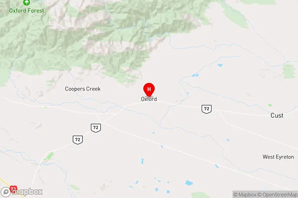
CanterburyOxford Region Map
Coordinates
-43.294558,172.2010842 (latitude/longitude)Distances
The distance from Oxford, Oxford, Waimakariri District to NZ Top 10 Cities