View Hill Area, View Hill Postcode(7495) & Map in View Hill
View Hill Area, View Hill Postcode(7495) & Map in View Hill, Waimakariri District, New Zealand
View Hill, Waimakariri District, New Zealand
View Hill Postcodes
View Hill Area (estimated)
238.4 square kilometersView Hill Population (estimated)
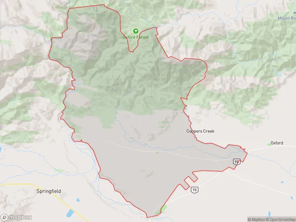
385 people live in View Hill, Canterbury, NZView Hill Suburb Area Map (Polygon)

View Hill Introduction
View Hill is a historic area in Oxford, Canterbury, New Zealand, known for its panoramic views of the surrounding countryside. It was once the site of a large villa and is now a popular tourist attraction. The area is also home to a variety of plant species, including some rare and endangered ones.Region
Major City
Suburb Name
View HillOther Name(s)
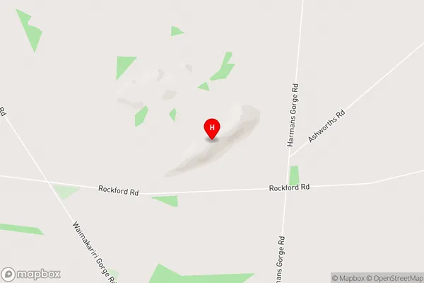
RockfordView Hill Area Map (Street)

Local Authority
Waimakariri DistrictFull Address
View Hill, Waimakariri District, New ZealandAddress Type
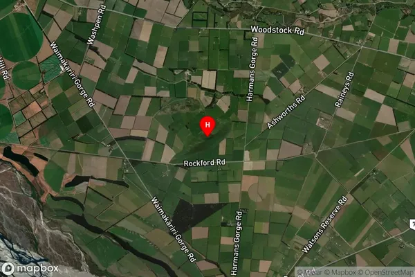
Locality in Town OxfordView Hill Suburb Map (Satellite)

Country
Main Region in AU
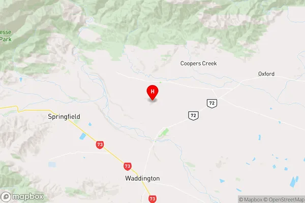
CanterburyView Hill Region Map

Coordinates
-43.321806,172.047222 (latitude/longitude)Distances
The distance from View Hill, Oxford, Waimakariri District to NZ Top 10 Cities