Coopers Creek Area, Coopers Creek Postcode(7495) & Map in Coopers Creek
Coopers Creek Area, Coopers Creek Postcode(7495) & Map in Coopers Creek, Waimakariri District, New Zealand
Coopers Creek, Waimakariri District, New Zealand
Coopers Creek Postcodes
Coopers Creek Area (estimated)
69.4 square kilometersCoopers Creek Population (estimated)
144 people live in Coopers Creek, Canterbury, NZCoopers Creek Suburb Area Map (Polygon)
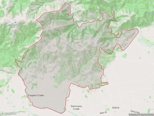
Coopers Creek Introduction
Coopers Creek is a small rural settlement in Oxford, Canterbury, New Zealand. It is located on the banks of the Coopers Creek, a tributary of the Rakaia River. The area was first settled in the 1850s by European settlers and has since developed into a quiet rural community with a variety of agricultural and recreational activities. The settlement has a post office, a school, a church, and a few small businesses. The surrounding countryside is scenic, with rolling hills, farmland, and native forests. The Coopers Creek Track, a popular hiking and cycling trail, runs through the settlement and offers stunning views of the surrounding area.Region
Major City
Suburb Name
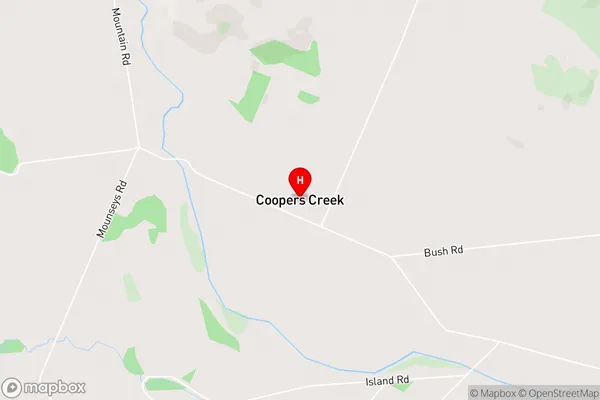
Coopers CreekCoopers Creek Area Map (Street)
Local Authority
Waimakariri DistrictFull Address
Coopers Creek, Waimakariri District, New ZealandAddress Type
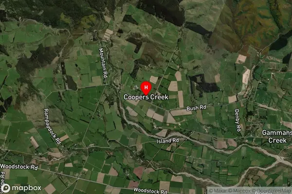
Locality in Town OxfordCoopers Creek Suburb Map (Satellite)
Country
Main Region in AU
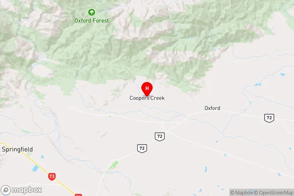
CanterburyCoopers Creek Region Map
Coordinates
-43.2842964,172.1094346 (latitude/longitude)Distances
The distance from Coopers Creek, Oxford, Waimakariri District to NZ Top 10 Cities