Lees Valley Area, Lees Valley Postcode & Map in Lees Valley
Lees Valley Area, Lees Valley Postcode & Map in Lees Valley, Waimakariri District, New Zealand
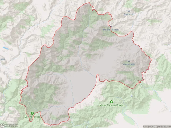
Lees Valley, Waimakariri District, New Zealand
Lees Valley Area (estimated)
587.4 square kilometersLees Valley Population (estimated)
21 people live in Lees Valley, Canterbury, NZLees Valley Suburb Area Map (Polygon)
Lees Valley Introduction
Lees Valley is a picturesque rural area located in Oxford, Canterbury, New Zealand. It is known for its stunning landscapes, including rolling hills, lush green fields, and picturesque rivers. The area is popular with outdoor enthusiasts, who enjoy activities such as hiking, cycling, and fishing. The Lee River runs through the valley, providing a source of water for local farms and communities. The region is also home to a variety of wildlife, including deer, rabbits, and birds.Region
Major City
Suburb Name
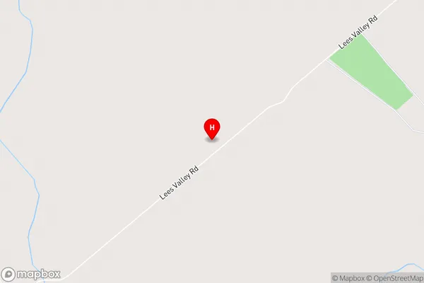
Lees ValleyLees Valley Area Map (Street)
Local Authority
Waimakariri DistrictFull Address
Lees Valley, Waimakariri District, New ZealandAddress Type
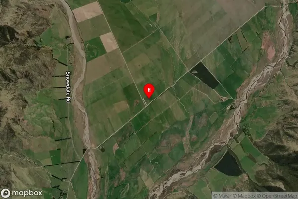
Locality in Town OxfordLees Valley Suburb Map (Satellite)
Country
Main Region in AU
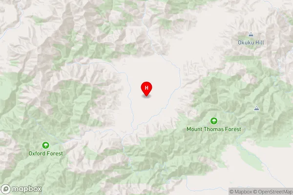
CanterburyLees Valley Region Map
Coordinates
-43.147778,172.1735287 (latitude/longitude)Distances
The distance from Lees Valley, Oxford, Waimakariri District to NZ Top 10 Cities