Starvation Hill Area, Starvation Hill Postcode(7430) & Map in Starvation Hill
Starvation Hill Area, Starvation Hill Postcode(7430) & Map in Starvation Hill, Waimakariri District, New Zealand
Starvation Hill, Waimakariri District, New Zealand
Starvation Hill Postcodes
Starvation Hill Area (estimated)
77.3 square kilometersStarvation Hill Population (estimated)
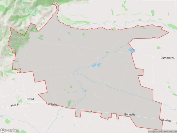
415 people live in Starvation Hill, Canterbury, NZStarvation Hill Suburb Area Map (Polygon)
Starvation Hill Introduction
Starvation Hill is a historic site in Oxford, Canterbury, New Zealand, where a group of Mori and Europeans fought a battle in 1864 during the New Zealand Wars. The Mori, who were outnumbered and had limited supplies, defended the hill against the Europeans, who had superior weapons and technology. The battle was a significant loss for the Mori, and it led to the loss of many of their land and resources. The site is now a memorial to the Mori and a popular tourist destination.Region
Major City
Suburb Name
Starvation HillOther Name(s)
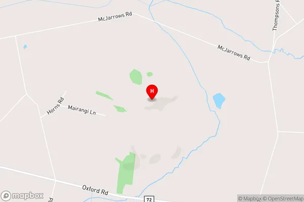
Ashley Gorge, Bennetts, CarletonStarvation Hill Area Map (Street)
Local Authority
Waimakariri DistrictFull Address
Starvation Hill, Waimakariri District, New ZealandAddress Type
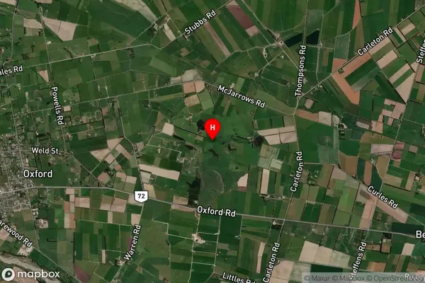
Locality in Town OxfordStarvation Hill Suburb Map (Satellite)
Country
Main Region in AU
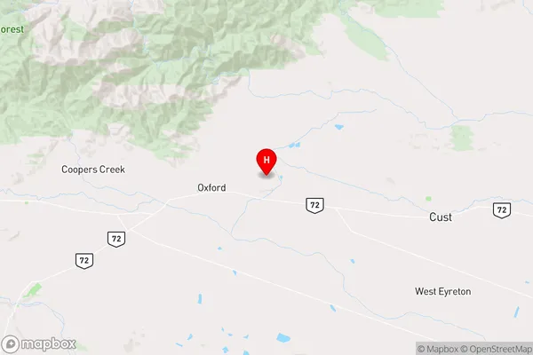
CanterburyStarvation Hill Region Map
Coordinates
-43.288861,172.243389 (latitude/longitude)Distances
The distance from Starvation Hill, Oxford, Waimakariri District to NZ Top 10 Cities