Cheviot Suburbs & Region, Cheviot Map & Postcodes in Cheviot, Hurunui, Canterbury
Cheviot Postcodes, Cheviot ZipCodes, Cheviot , Cheviot Canterbury, Cheviot Suburbs, Cheviot Region, Cheviot Map, Cheviot Area
Cheviot Region (Caverhill, Mina, Nonoti, South Cheviot, Waiau River Flats Region)
Cheviot Suburbs
Cheviot is a city place type in Hurunui, Canterbury, NZ. It contains 8 suburbs or localities.Cheviot district
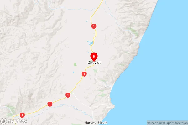
HurunuiCheviot Region Map
Cheviot Introduction
Cheviot is a small town located in the Canterbury region of New Zealand. It is situated on the banks of the Hurunui River, approximately 120 kilometers west of Christchurch. The town has a population of around 300 people and is known for its scenic surroundings, including the Cheviot Hills and the surrounding farmland. The town has a primary school, a post office, a general store, and a community hall. The area is popular for outdoor activities such as hiking, skiing, and fishing, and the town is also home to a number of historic buildings, including the Cheviot Hotel and the Cheviot Church.Cheviot Region
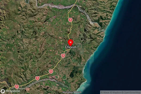
Cheviot Satellite Map
Full Address
Cheviot, Hurunui, CanterburyCheviot Coordinates
-42.811653,173.273503 (Latitude / Longitude)Cheviot Map in NZ
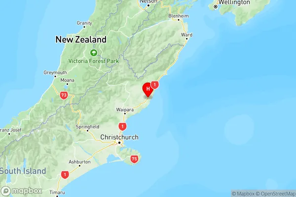
NZ Island
South IslandCountry
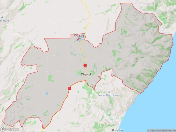
Cheviot Area Map (Polygon)
Name
CheviotAdditional Name
Caverhill, Mina, Nonoti, South Cheviot, Waiau River FlatsLocal Authority
Hurunui District
Cheviot Suburbs (Sort by Population)
Cheviot
Cheviot - 613Ferniehurst
Ferniehurst - 154Lowry Hills Range
Lowry Hills Range - 139Spotswood
Spotswood - 86Gore Bay
Gore Bay - 80Hundalee
Hundalee - 51Conway Flat
Conway Flat - 40Hawkswood
Hawkswood - 19
Cheviot Suburbs (Sort in alphabetical)
Spotswood