Cheviot Area, Cheviot Postcode(7310) & Map in Cheviot
Cheviot Area, Cheviot Postcode(7310) & Map in Cheviot, Hurunui District, New Zealand
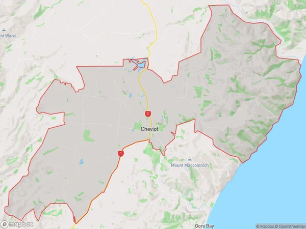
Cheviot, Hurunui District, New Zealand
Cheviot Area (estimated)
96.4 square kilometersCheviot Population (estimated)
613 people live in Cheviot, Canterbury, NZCheviot Suburb Area Map (Polygon)
Cheviot Introduction
Cheviot, Cheviot, Canterbury, New Zealand, is a small rural town located in the Canterbury Plains, 12 kilometers south of Ashburton. It was established in 1865 and named after the Cheviot Hills in England. The town has a population of around 1,000 people and is known for its agricultural heritage, with sheep and beef farming being the primary industries. The town also has a historic church, a primary school, and a community hall.Region
Major City
Suburb Name
CheviotOther Name(s)
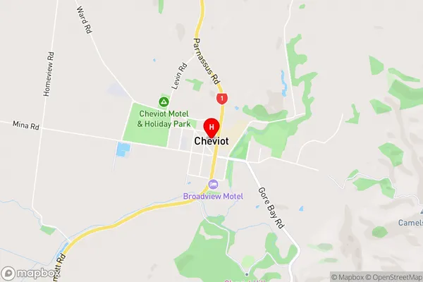
Caverhill, Mina, Nonoti, South Cheviot, Waiau River FlatsCheviot Area Map (Street)
Local Authority
Hurunui DistrictFull Address
Cheviot, Hurunui District, New ZealandAddress Type
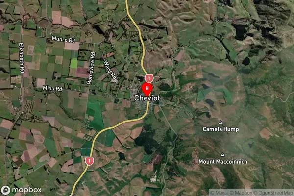
Suburb in Town CheviotCheviot Suburb Map (Satellite)
Country
Main Region in AU
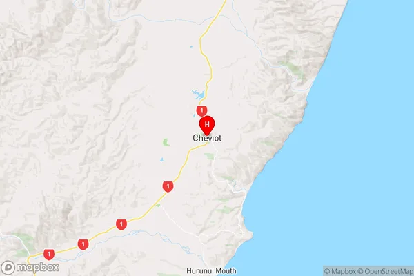
CanterburyCheviot Region Map
Coordinates
-42.8116534,173.2735027 (latitude/longitude)Distances
The distance from Cheviot, Cheviot, Hurunui District to NZ Top 10 Cities