Lowry Hills Range Area, Lowry Hills Range Postcode & Map in Lowry Hills Range
Lowry Hills Range Area, Lowry Hills Range Postcode & Map in Lowry Hills Range, Hurunui District,
Lowry Hills Range, Hurunui District,
Lowry Hills Range Area (estimated)
353.0 square kilometersLowry Hills Range Population (estimated)
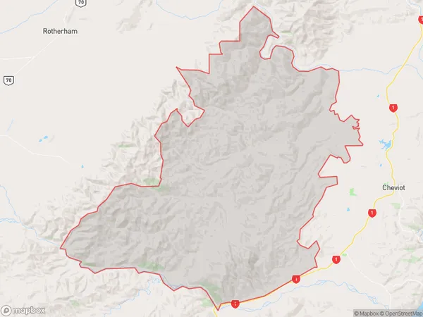
139 people live in Lowry Hills Range, Cheviot, NZLowry Hills Range Suburb Area Map (Polygon)
Lowry Hills Range Introduction
The Lowry Hills Range is a mountain range located in the Canterbury region of New Zealand. It is part of the Southern Alps and is known for its stunning landscapes, including glaciers, lakes, and waterfalls. The range is home to a variety of wildlife, including kea, mountain goats, and tahr. The area is popular with hikers and outdoor enthusiasts and is a designated conservation area.Region
Major City
Suburb Name
Lowry Hills RangeOther Name(s)
Leamington, Phoebe, Scargill Valley, South CheviotLowry Hills Range Area Map (Street)
Local Authority
Hurunui DistrictFull Address
Lowry Hills Range, Hurunui District,Address Type
Locality in Town CheviotLowry Hills Range Suburb Map (Satellite)
Country
Main Region in AU
CanterburyLowry Hills Range Region Map
Coordinates
0,0 (latitude/longitude)Distances
The distance from Lowry Hills Range, Cheviot, Hurunui District to NZ Top 10 Cities