Hawkswood Area, Hawkswood Postcode(7332) & Map in Hawkswood
Hawkswood Area, Hawkswood Postcode(7332) & Map in Hawkswood, Hurunui District, New Zealand
Hawkswood, Hurunui District, New Zealand
Hawkswood Postcodes
Hawkswood Area (estimated)
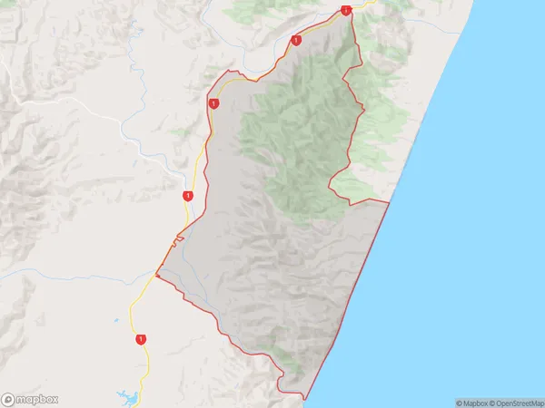
145.0 square kilometersHawkswood Population (estimated)
19 people live in Hawkswood, Canterbury, NZHawkswood Suburb Area Map (Polygon)
Hawkswood Introduction
Hawkswood is a small rural community in the Cheviot district of Canterbury, New Zealand. It is located on State Highway 1, approximately 20 kilometers south of Christchurch. The area is known for its scenic rural landscapes, including rolling hills, farmland, and picturesque rivers. Hawkswood has a primary school, a post office, and a small community hall. The community is surrounded by lush green farmland and is home to a variety of wildlife, including deer, rabbits, and birds.Region
Major City
Suburb Name
HawkswoodOther Name(s)
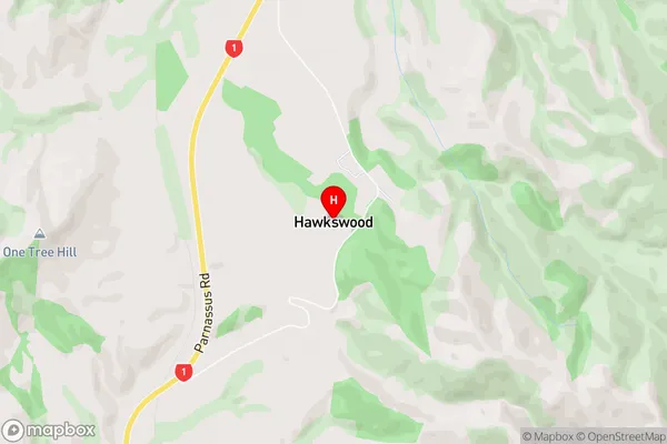
Conway, Waiau River FlatsHawkswood Area Map (Street)
Local Authority
Hurunui DistrictFull Address
Hawkswood, Hurunui District, New ZealandAddress Type
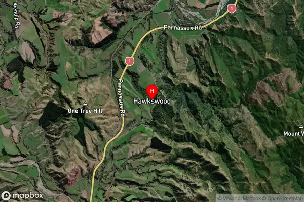
Locality in Town CheviotHawkswood Suburb Map (Satellite)
Country
Main Region in AU
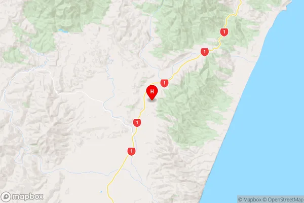
CanterburyHawkswood Region Map
Coordinates
-42.6550893,173.326878 (latitude/longitude)Distances
The distance from Hawkswood, Cheviot, Hurunui District to NZ Top 10 Cities