Spotswood Area, Spotswood Postcode(7384) & Map in Spotswood
Spotswood Area, Spotswood Postcode(7384) & Map in Spotswood, Hurunui District, New Zealand
Spotswood, Hurunui District, New Zealand
Spotswood Area (estimated)
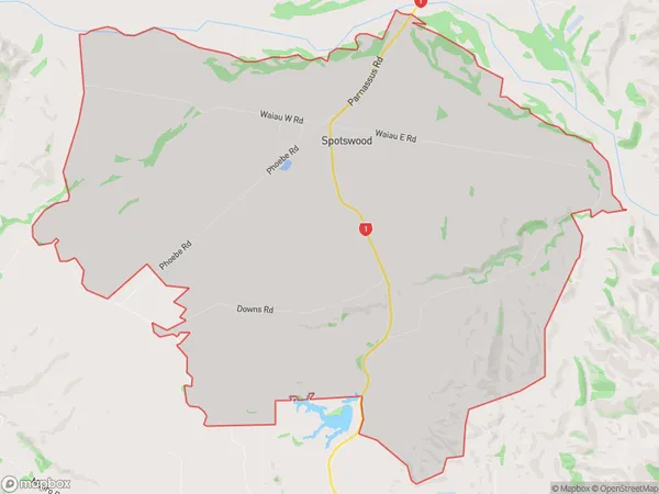
49.1 square kilometersSpotswood Population (estimated)
86 people live in Spotswood, Canterbury, NZSpotswood Suburb Area Map (Polygon)
Spotswood Introduction
Spotswood is a suburb of Christchurch, New Zealand, located in the Cheviot Hills. It is known for its suburban lifestyle, with a mix of residential and commercial areas. The suburb has a population of around 10,000 people and is located 7 kilometers from the city center. It is surrounded by picturesque parks and gardens and is home to a variety of wildlife, including birds and deer.Region
Major City
Suburb Name
SpotswoodOther Name(s)
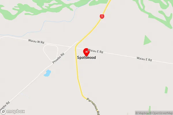
Waiau River FlatsSpotswood Area Map (Street)
Local Authority
Hurunui DistrictFull Address
Spotswood, Hurunui District, New ZealandAddress Type
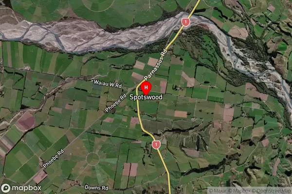
Locality in Town CheviotSpotswood Suburb Map (Satellite)
Country
Main Region in AU
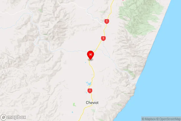
CanterburySpotswood Region Map
Coordinates
-42.7414674,173.2697604 (latitude/longitude)Distances
The distance from Spotswood, Cheviot, Hurunui District to NZ Top 10 Cities