Gore Bay Area, Gore Bay Postcode(7310) & Map in Gore Bay
Gore Bay Area, Gore Bay Postcode(7310) & Map in Gore Bay, Hurunui District, New Zealand
Gore Bay, Hurunui District, New Zealand
Gore Bay Postcodes
Gore Bay Area (estimated)
29.8 square kilometersGore Bay Population (estimated)
80 people live in Gore Bay, Canterbury, NZGore Bay Suburb Area Map (Polygon)
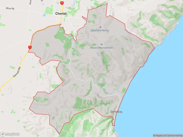
Gore Bay Introduction
Gore Bay is a small, peaceful bay located in Cheviot, Canterbury, New Zealand. It is known for its stunning natural beauty, including crystal-clear waters, rugged cliffs, and lush green forests. The bay is a popular spot for fishing, kayaking, and hiking, and it is home to a variety of wildlife, including seals, dolphins, and penguins. The bay is also surrounded by picturesque farmland and charming rural communities, making it a popular destination for tourists and locals alike.Region
Major City
Suburb Name
Gore BayOther Name(s)
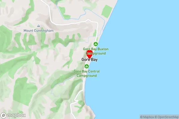
Nonoti, South CheviotGore Bay Area Map (Street)
Local Authority
Hurunui DistrictFull Address
Gore Bay, Hurunui District, New ZealandAddress Type
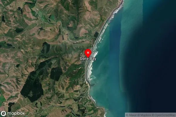
Locality in Town CheviotGore Bay Suburb Map (Satellite)
Country
Main Region in AU
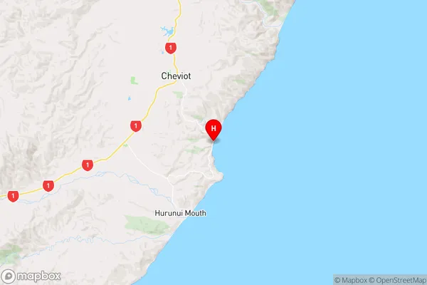
CanterburyGore Bay Region Map
Coordinates
-42.8586889,173.3097277 (latitude/longitude)Distances
The distance from Gore Bay, Cheviot, Hurunui District to NZ Top 10 Cities