Hundalee Area, Hundalee Postcode & Map in Hundalee
Hundalee Area, Hundalee Postcode & Map in Hundalee, Hurunui District, New Zealand
Hundalee, Hurunui District, New Zealand
Hundalee Area (estimated)
39.0 square kilometersHundalee Population (estimated)
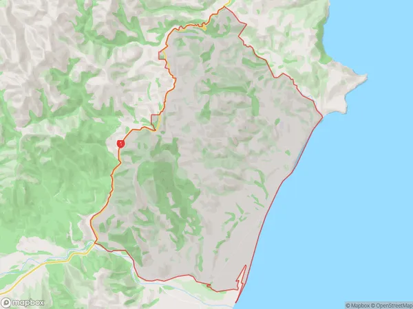
51 people live in Hundalee, Canterbury, NZHundalee Suburb Area Map (Polygon)
Hundalee Introduction
Hundalee is a small rural community in the Canterbury region of New Zealand, located in the Cheviot District. It is known for its picturesque rural setting, with rolling hills and farmland, and for its historic church, St John the Baptist. The community has a population of around 100 people and is located approximately 30 minutes from Christchurch.Region
Major City
Suburb Name
HundaleeOther Name(s)
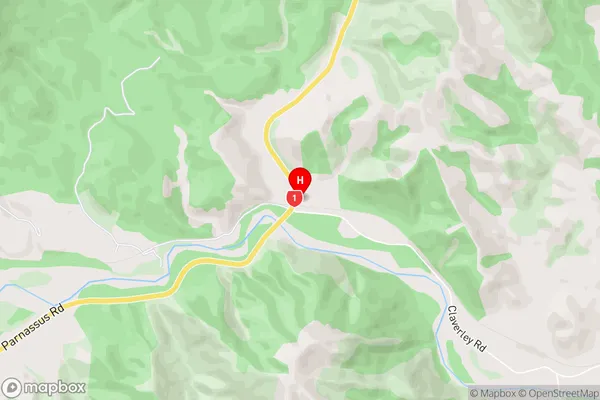
Claverley, ConwayHundalee Area Map (Street)
Local Authority
Hurunui DistrictFull Address
Hundalee, Hurunui District, New ZealandAddress Type
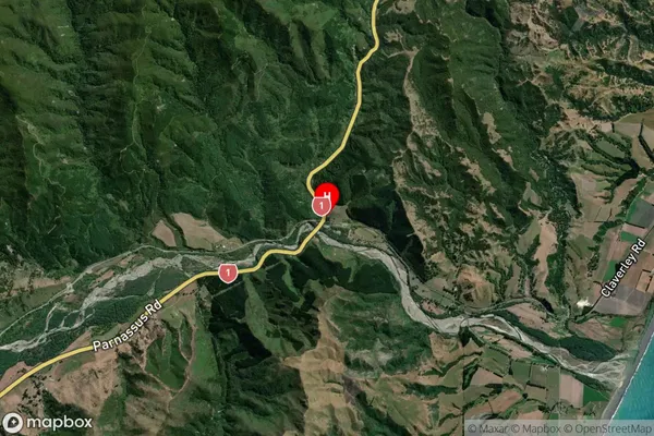
Locality in Town CheviotHundalee Suburb Map (Satellite)
Country
Main Region in AU
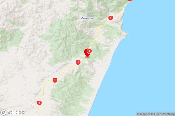
CanterburyHundalee Region Map
Coordinates
-42.5980097,173.4202139 (latitude/longitude)Distances
The distance from Hundalee, Cheviot, Hurunui District to NZ Top 10 Cities