Wakefield Suburbs & Region, Wakefield Map & Postcodes in Wakefield, Tasman, Nelson & Bays
Wakefield Postcodes, Wakefield ZipCodes, Wakefield , Wakefield Tasman, Wakefield Suburbs, Wakefield Region, Wakefield Map, Wakefield Area
Wakefield Region
Wakefield Suburbs
Wakefield is a city place type in Tasman, Nelson & Bays, NZ. It contains 13 suburbs or localities.Wakefield district
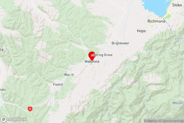
TasmanWakefield Region Map
Wakefield Introduction
Wakefield is a small township in the Tasman District of New Zealand's South Island. It is located on the banks of the Mataura River, approximately 12 kilometers south of Gore and 160 kilometers south of Nelson. Wakefield was first settled in the 1860s by Europeans, and it was named after the English town of Wakefield. The town has a population of around 1,000 people and is known for its scenic surroundings, including the Mataura Forest Park and the Wakefield Quarry. The town is also home to a variety of recreational facilities, including a golf course, a swimming pool, and a sports complex.Wakefield Region
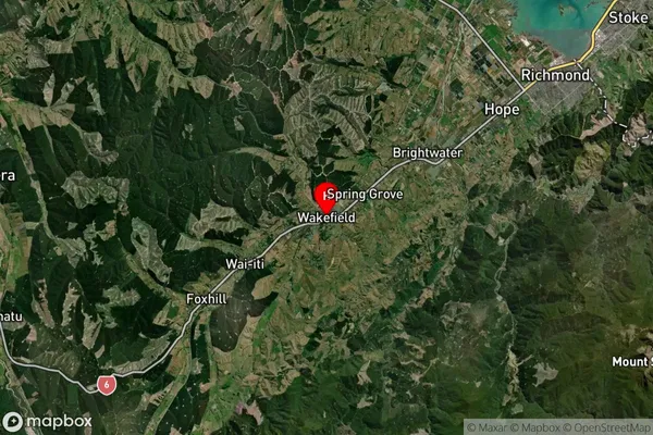
Wakefield Satellite Map
Full Address
Wakefield, Tasman, Nelson & BaysWakefield Coordinates
-41.405624,173.042833 (Latitude / Longitude)Wakefield Map in NZ
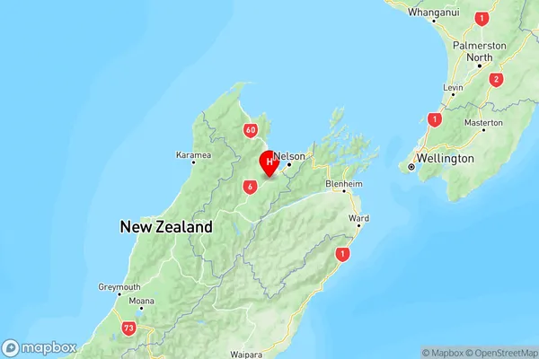
NZ Island
South IslandCountry
Wakefield Suburbs (Sort by Population)
Wakefield
Wakefield - 3058Tapawera
Tapawera - 867Dovedale
Dovedale - 303Belgrove
Belgrove - 263Wai-iti
Wai-iti - 213Pigeon Valley
Pigeon Valley - 198Eighty Eight Valley
Eighty Eight Valley - 171Foxhill
Foxhill - 139Stanley Brook
Stanley Brook - 127Tadmor
Tadmor - 93Kohatu
Kohatu - 50Golden Downs
Golden Downs - 28Spooners Range
Spooners Range - 6