Foxhill Area, Foxhill Postcode(7095) & Map in Foxhill
Foxhill Area, Foxhill Postcode(7095) & Map in Foxhill, Tasman District, New Zealand
Foxhill, Tasman District, New Zealand
Foxhill Postcodes
Foxhill Area (estimated)
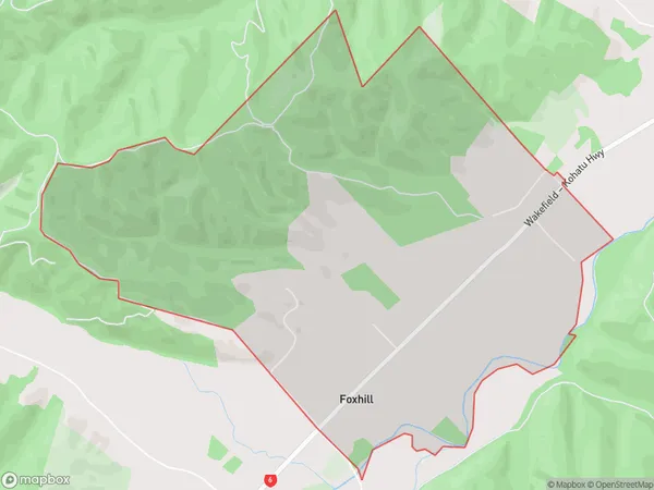
6.4 square kilometersFoxhill Population (estimated)
139 people live in Foxhill, Tasman, NZFoxhill Suburb Area Map (Polygon)
Foxhill Introduction
Foxhill is a small rural community in Tasman, New Zealand. It is located on State Highway 6, approximately 10 kilometers south of Wakefield and 25 kilometers north of Nelson. The area is known for its scenic countryside, with rolling hills, lush green forests, and picturesque rivers. Foxhill has a primary school, a post office, a convenience store, and a community hall. The community is surrounded by farmland and has a strong agricultural heritage.Region
Major City
Suburb Name
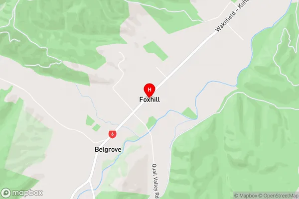
FoxhillFoxhill Area Map (Street)
Local Authority
Tasman DistrictFull Address
Foxhill, Tasman District, New ZealandAddress Type
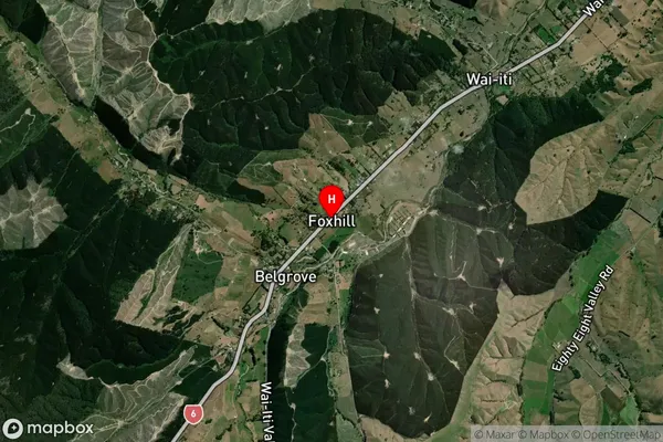
Locality in Town WakefieldFoxhill Suburb Map (Satellite)
Country
Main Region in AU
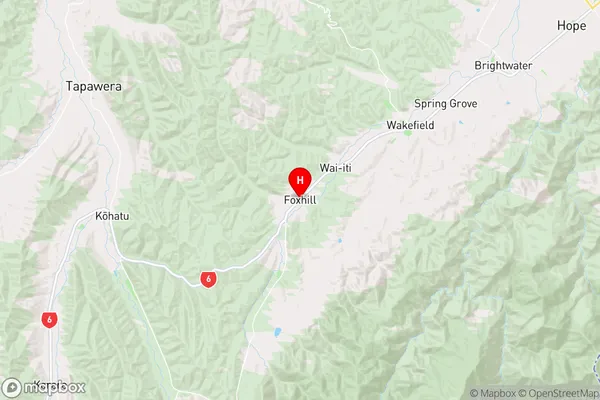
TasmanFoxhill Region Map
Coordinates
-41.4441545,172.9669179 (latitude/longitude)Distances
The distance from Foxhill, Wakefield, Tasman District to NZ Top 10 Cities