Herekino Suburbs & Region, Herekino Map & Postcodes in Herekino, Far North, Northland
Herekino Postcodes, Herekino ZipCodes, Herekino , Herekino Northland, Herekino Suburbs, Herekino Region, Herekino Map, Herekino Area
Herekino Region (Manukau, Owhata, Puhata, Waiotehue, Whangape Region)
Herekino Suburbs
Herekino is a suburb place type in Far North, Northland, NZ. It contains 0 suburbs or localities.Herekino district
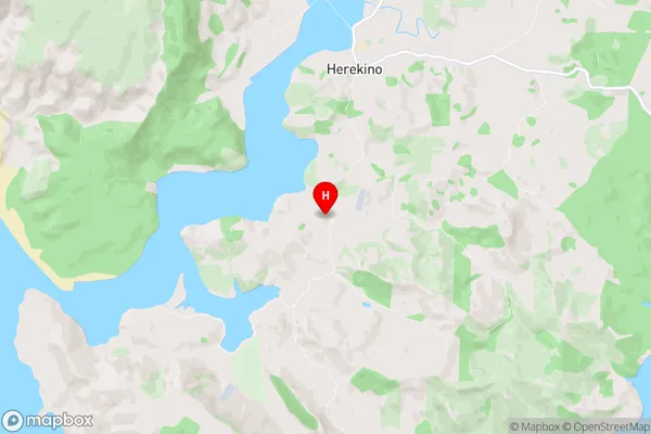
Far NorthHerekino Region Map
Herekino Introduction
Herekino is a small rural community in Northland, New Zealand. It is located on State Highway 12, approximately 12 kilometers south of Kaikohe and 135 kilometers north of Whangarei. The community has a population of around 100 people and is known for its scenic surroundings, including the Herekino Forest and the Herekino River. The area is popular with outdoor enthusiasts, with many opportunities for hiking, fishing, and hunting. There is also a local school and a community hall. The nearest major town is Kaikohe, which has a range of services and amenities, including a hospital, supermarket, and library.Herekino Region
Herekino City
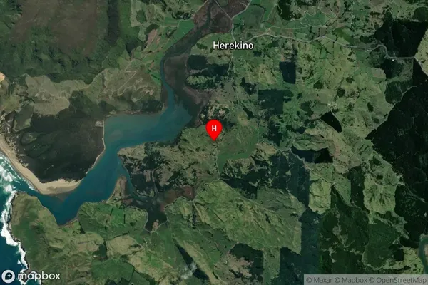
Herekino Satellite Map
Full Address
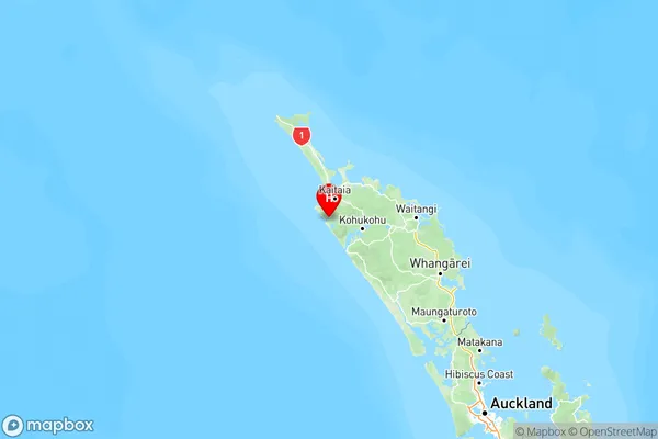
Herekino, Far North, NorthlandHerekino Coordinates
-35.284786,173.205796 (Latitude / Longitude)Herekino Map in NZ
NZ Island
North IslandCountry
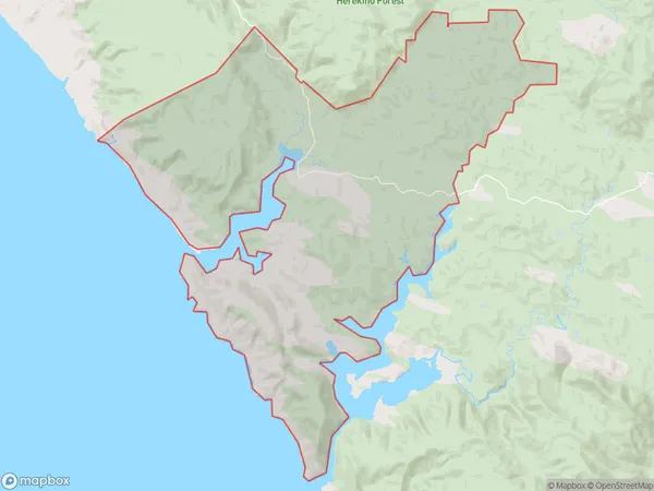
Herekino Area Map (Polygon)
Name
HerekinoAdditional Name
Manukau, Owhata, Puhata, Waiotehue, WhangapeLocal Authority
Far North District
Herekino Suburbs (Sort by Population)
Herekino also known as Manukau, Owhata, Puhata, Waiotehue, Whangape. Herekino suburb has around
182.3 square
kilometers.There are more than 453 people (estimated)
live in Herekino, Te Hiku Community, Northland, New Zealand.