Kaitaia Suburbs & Region, Kaitaia Map & Postcodes in Kaitaia, Far North, Northland
Kaitaia Postcodes, Kaitaia ZipCodes, Kaitaia , Kaitaia Northland, Kaitaia Suburbs, Kaitaia Region, Kaitaia Map, Kaitaia Area
Kaitaia Region
Kaitaia Suburbs
Kaitaia is a city place type in Far North, Northland, NZ. It contains 6 suburbs or localities.Kaitaia district
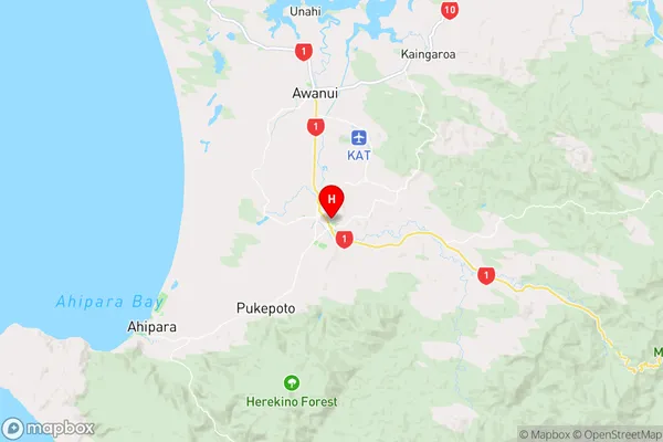
Far NorthKaitaia Region Map
Kaitaia Introduction
Kaitaia is a small town in Northland, New Zealand, located on the northern coast of the North Island. It is known for its stunning natural scenery, including the Kaitaia Harbour and the surrounding Cape Reinga. The town has a population of around 4,000 people and is a popular destination for tourists and outdoor enthusiasts. Kaitaia is also home to a number of important historical sites, including the Kaitaia Mission Station and the Te Papa o Te Henua, the Museum of New Zealand Te Papa Tongarewa.Kaitaia Region
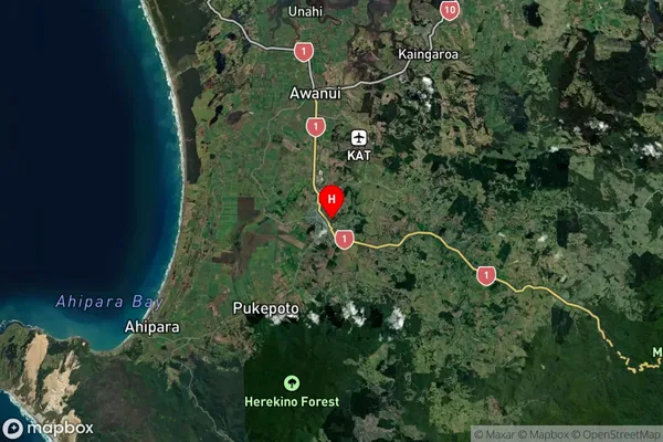
Kaitaia Satellite Map
Full Address
Kaitaia, Far North, NorthlandKaitaia Coordinates
-35.11276,173.267731 (Latitude / Longitude)Kaitaia Map in NZ
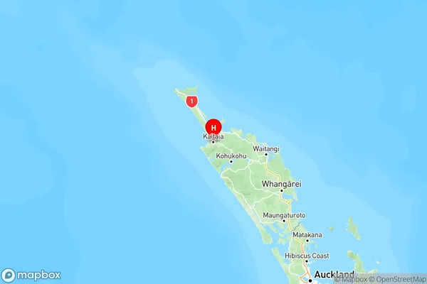
NZ Island
North IslandCountry
Kaitaia Suburbs (Sort by Population)
Kaitaia Suburbs (Sort in alphabetical)
Lake Ohia