Kaingaroa Area, Kaingaroa Postcode(0483) & Map in Kaingaroa
Kaingaroa Area, Kaingaroa Postcode(0483) & Map in Kaingaroa, Far North District, New Zealand
Kaingaroa, Far North District, New Zealand
Kaingaroa Postcodes
Kaingaroa Area (estimated)
72.6 square kilometersKaingaroa Population (estimated)
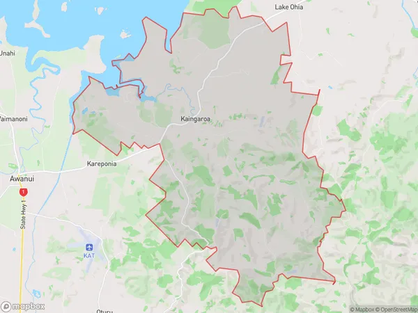
562 people live in Kaingaroa, Te Hiku Community, NZKaingaroa Suburb Area Map (Polygon)
Kaingaroa Introduction
Kaingaroa (also known as the Poor Knights Islands) is a small group of islands off the coast of Northland, New Zealand. The islands are known for their rugged terrain, stunning natural beauty, and rich cultural heritage. The main island, Kaingaroa, is home to a small community of around 50 people who live off the land and rely on fishing and tourism for their livelihood. The islands are a popular destination for hikers and nature lovers, with several walking tracks and scenic viewpoints.Region
Major City
Suburb Name
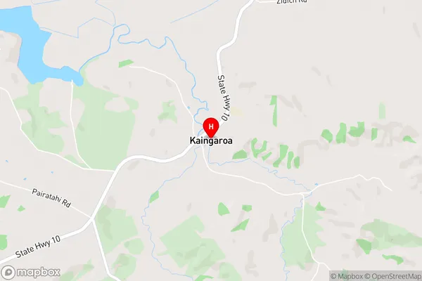
KaingaroaKaingaroa Area Map (Street)
Local Authority
Far North DistrictFull Address
Kaingaroa, Far North District, New ZealandAddress Type
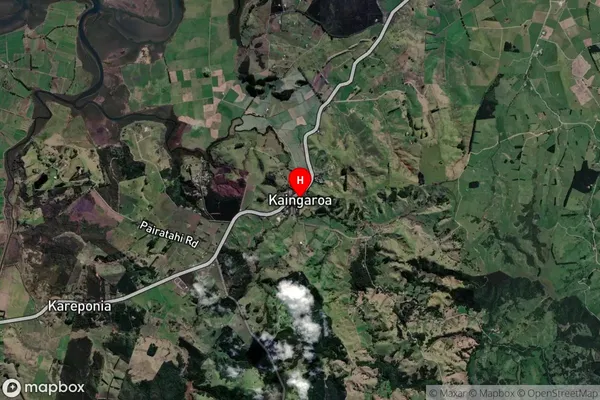
Locality in Town KaitaiaKaingaroa Suburb Map (Satellite)
Country
Main Region in AU
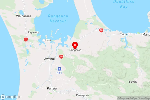
NorthlandKaingaroa Region Map
Coordinates
-35.0278873,173.3277575 (latitude/longitude)Distances
The distance from Kaingaroa, Kaitaia, Far North District to NZ Top 10 Cities