Herekino Area, Herekino Postcode(0481) & Map in Herekino
Herekino Area, Herekino Postcode(0481) & Map in Herekino, Far North District, New Zealand
Herekino, Far North District, New Zealand
Herekino Postcodes
Herekino Area (estimated)
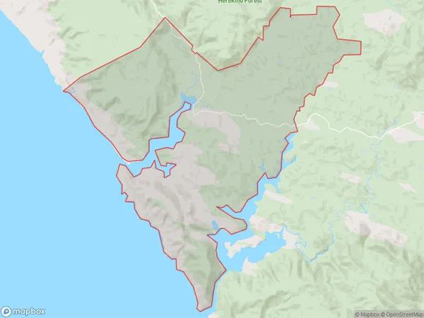
182.3 square kilometersHerekino Population (estimated)
453 people live in Herekino, Te Hiku Community, NZHerekino Suburb Area Map (Polygon)
Herekino Introduction
Herekino is a small rural community in Kaitaia, Northland, New Zealand. It is located on State Highway 10, approximately 12 km south of Kaitaia town. The community has a population of around 100 people and is known for its scenic surroundings, including the Herekino Forest and the Herekino River. The area was originally settled by Mori people and has a rich cultural heritage.Region
Major City
Suburb Name
HerekinoOther Name(s)
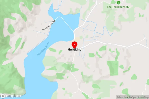
Manukau, Owhata, Puhata, Waiotehue, WhangapeHerekino Area Map (Street)
Local Authority
Far North DistrictFull Address
Herekino, Far North District, New ZealandAddress Type
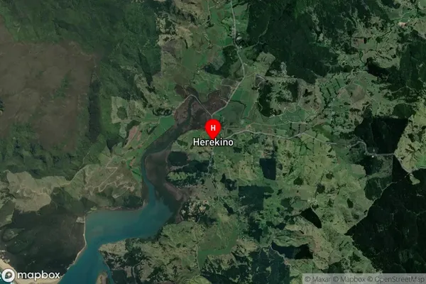
Locality in Town KaitaiaHerekino Suburb Map (Satellite)
Country
Main Region in AU
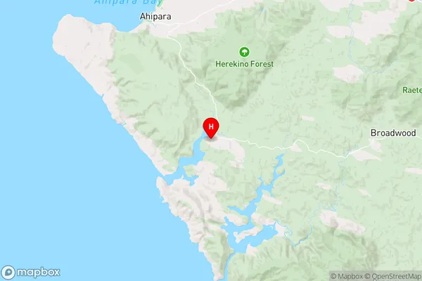
NorthlandHerekino Region Map
Coordinates
-35.2656787,173.2103429 (latitude/longitude)Distances
The distance from Herekino, Kaitaia, Far North District to NZ Top 10 Cities