Golden Downs Area, Golden Downs Postcode & Map in Golden Downs
Golden Downs Area, Golden Downs Postcode & Map in Golden Downs, Tasman District, New Zealand
Golden Downs, Tasman District, New Zealand
Golden Downs Area (estimated)
221.3 square kilometersGolden Downs Population (estimated)
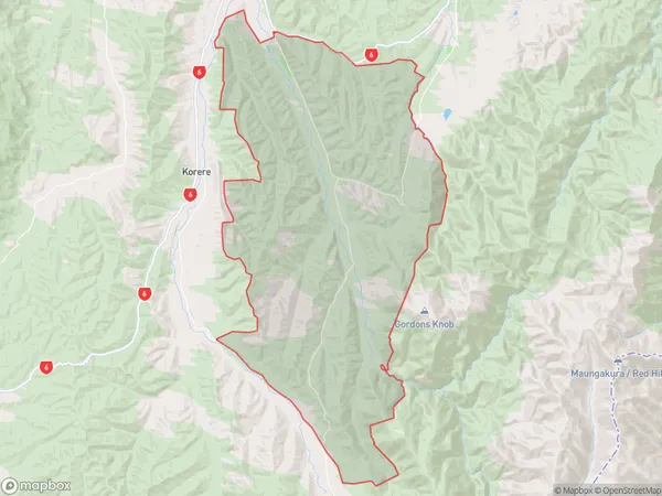
28 people live in Golden Downs, Tasman, NZGolden Downs Suburb Area Map (Polygon)
Golden Downs Introduction
Golden Downs is a farm located in Wakefield, Tasman, New Zealand. It was established in 1861 and is known for its high-quality wool and lamb products. The farm also has a cheese-making facility and a café that serves fresh local produce. The farm is open to the public and offers tours and educational programs about farming and sustainability.Region
Major City
Suburb Name
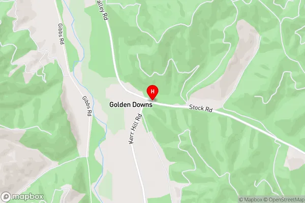
Golden DownsGolden Downs Area Map (Street)
Local Authority
Tasman DistrictFull Address
Golden Downs, Tasman District, New ZealandAddress Type
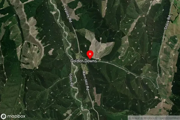
Locality in Town WakefieldGolden Downs Suburb Map (Satellite)
Country
Main Region in AU
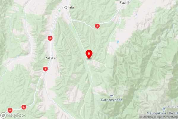
TasmanGolden Downs Region Map
Coordinates
-41.542548,172.8848268 (latitude/longitude)Distances
The distance from Golden Downs, Wakefield, Tasman District to NZ Top 10 Cities