Belgrove Area, Belgrove Postcode(7095) & Map in Belgrove
Belgrove Area, Belgrove Postcode(7095) & Map in Belgrove, Tasman District, New Zealand
Belgrove, Tasman District, New Zealand
Belgrove Postcodes
Belgrove Area (estimated)
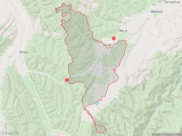
67.2 square kilometersBelgrove Population (estimated)
263 people live in Belgrove, Tasman, NZBelgrove Suburb Area Map (Polygon)
Belgrove Introduction
Belgrove is a small rural community located in the Tasman District of New Zealand's South Island. It is situated on the banks of the Belgrove River, approximately 10 kilometers south of Wakefield and 120 kilometers north of Nelson. The area is known for its scenic countryside, peaceful atmosphere, and traditional farming practices. Belgrove has a population of around 100 people and is home to a primary school, a church, and a small convenience store. The community is surrounded by lush green farmland and picturesque mountains, making it an ideal location for those who enjoy outdoor activities such as hiking, fishing, and hunting.Region
Major City
Suburb Name
BelgroveOther Name(s)
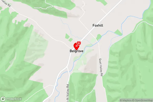
HiwipangoBelgrove Area Map (Street)
Local Authority
Tasman DistrictFull Address
Belgrove, Tasman District, New ZealandAddress Type
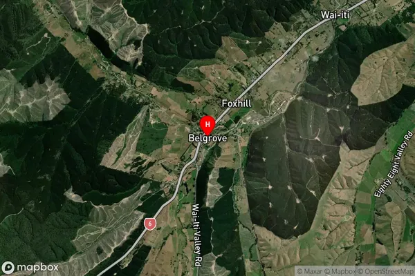
Locality in Town WakefieldBelgrove Suburb Map (Satellite)
Country
Main Region in AU
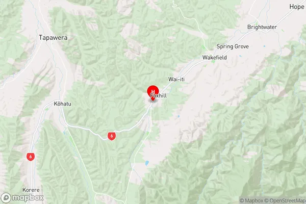
TasmanBelgrove Region Map
Coordinates
-41.450608,172.9597497 (latitude/longitude)Distances
The distance from Belgrove, Wakefield, Tasman District to NZ Top 10 Cities