Tapawera Area, Tapawera Postcode(7096) & Map in Tapawera
Tapawera Area, Tapawera Postcode(7096) & Map in Tapawera, Tasman District, New Zealand
Tapawera, Tasman District, New Zealand
Tapawera Area (estimated)
437.9 square kilometersTapawera Population (estimated)
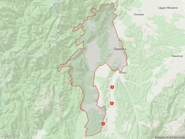
867 people live in Tapawera, Tasman, NZTapawera Suburb Area Map (Polygon)
Tapawera Introduction
Tapawera is a small rural community in the Wakefield district of Tasman, New Zealand. It is located on the banks of the Tapawera River, approximately 20 kilometers south of Wakefield and 100 kilometers north of Nelson. The area is known for its scenic beauty, with rolling hills, lush forests, and a tranquil atmosphere. The community has a primary school, a post office, and a small supermarket. Tapawera is a popular destination for outdoor enthusiasts, with numerous hiking and biking trails in the surrounding area. The town also hosts the annual Tapawera Festival, a celebration of local culture and heritage.Region
Major City
Suburb Name
TapaweraOther Name(s)
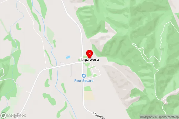
Kaka, Mararewa, Matariki, Rakau, TuiTapawera Area Map (Street)
Local Authority
Tasman DistrictFull Address
Tapawera, Tasman District, New ZealandAddress Type
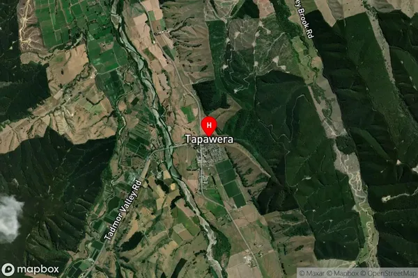
Locality in Town WakefieldTapawera Suburb Map (Satellite)
Country
Main Region in AU
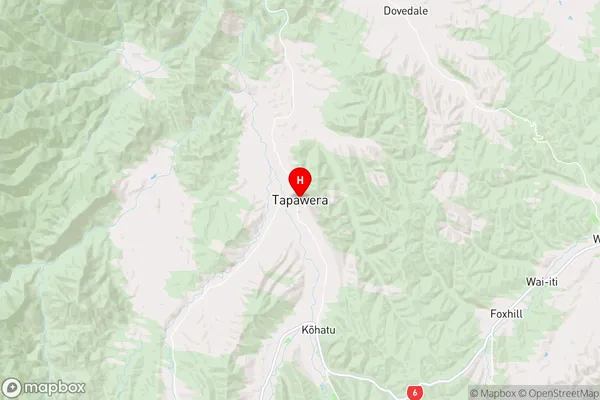
TasmanTapawera Region Map
Coordinates
-41.3854986,172.8252254 (latitude/longitude)Distances
The distance from Tapawera, Wakefield, Tasman District to NZ Top 10 Cities