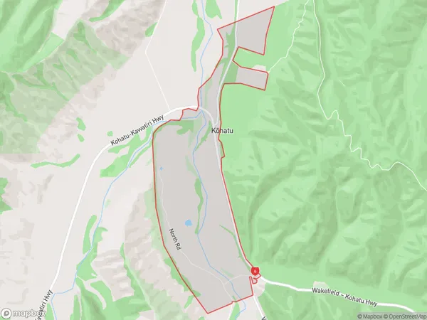
Kohatu Area, Kohatu Postcode & Map in Kohatu
Kohatu Area, Kohatu Postcode & Map in Kohatu, Tasman District, New Zealand
Kohatu, Tasman District, New Zealand
Kohatu Area (estimated)
5.3 square kilometersKohatu Population (estimated)
50 people live in Kohatu, Tasman, NZKohatu Suburb Area Map (Polygon)
Kohatu Introduction
Kohatu is a small rural town located in the Wakefield district of Tasman, New Zealand. It is known for its scenic surroundings, including the Kohatu River and the surrounding mountains. The town has a population of around 500 people and is a popular destination for outdoor enthusiasts and tourists. The town is also home to a number of historic buildings, including the Kohatu Hotel, which was built in 1887.Region
Major City
Suburb Name
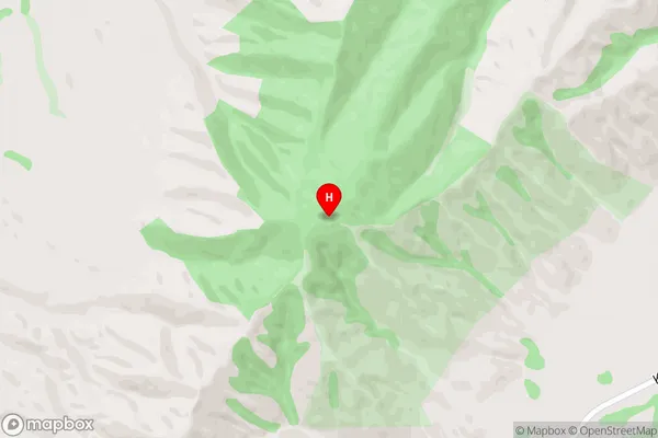
Kohatu (Maori Name: Kōhatu)Kohatu Area Map (Street)
Local Authority
Tasman DistrictFull Address
Kohatu, Tasman District, New ZealandAddress Type
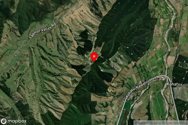
Locality in Town WakefieldKohatu Suburb Map (Satellite)
Country
Main Region in AU
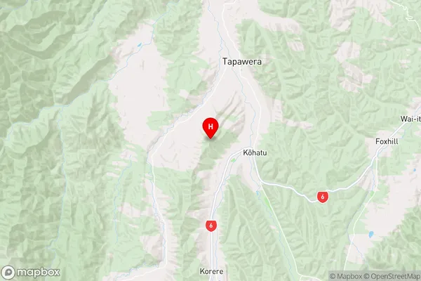
TasmanKohatu Region Map
Coordinates
-41.443458,172.794414 (latitude/longitude)Distances
The distance from Kohatu, Wakefield, Tasman District to NZ Top 10 Cities