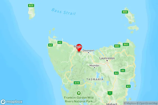
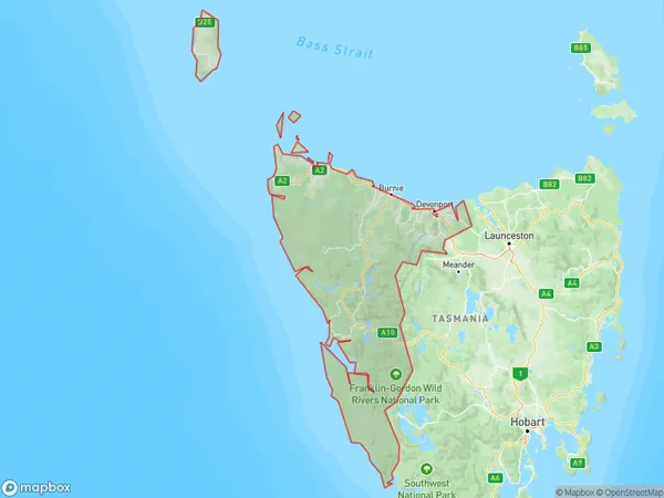
West and North West Suburbs & Region, West and North West Map & Postcodes
West and North West Suburbs & Region, West and North West Map & Postcodes in West and North West, TAS, AU
West and North West Region
Region Name
West and North West (TAS, AU)West and North West Area
22525 square kilometers (22,525 ㎢)Postal Codes
7140, 7256, 7270, 7275, from 7304 to 7307, 7310, 7315, 7316, from 7320 to 7322, 7325, 7330, 7331, and from 7466 to 7470 (In total, there are 22 postcodes in West and North West.)West and North West Introduction
West and North West is a locality in the West Coast District of Tasmania, Australia. It is located about 125 km northwest of the state capital, Hobart. The locality is surrounded by the Arthur River and the Mount Field National Park. The area was first settled by Europeans in the 1820s, and it was named after the West and North West Ridges of the Arthur Range. The town has a population of around 1,000 people and is known for its scenic beauty and outdoor recreational opportunities, including fishing, hiking, and skiing. The nearest major town is Queenstown, which is 40 km away.Australia State
City or Big Region
West and North West Region Map

West and North West Postcodes / Zip Codes
West and North West Suburbs
Burnie Ulverstone
West and North West full address
West and North West, Tasmania, TAS, Australia, SaCode: 604Country
West and North West, Tasmania, TAS, Australia, SaCode: 604
West and North West Suburbs & Region, West and North West Map & Postcodes has 3 areas or regions above, and there are 323 West and North West suburbs below. The sa4code for the West and North West region is 604. Its latitude and longitude coordinates are -41.1767,145.965.
West and North West Suburbs & Localities
1. Boyer
2. Clarence Point
3. Holwell
4. Chudleigh
5. Acton
6. Kindred
7. Gunns Plains
8. Camena
9. West Mooreville
10. Seabrook
11. Somerset
12. Latrobe
13. Barrington
14. Merseylea
15. Wickham
16. Couta Rocks
17. Stanley
18. Lake Margaret
19. Granville Harbour
20. Gormanston
21. Strahan
22. Rosebery
