Rosebery Area, Rosebery Postcode(7470) & Map in Rosebery, West and North West, TAS
Rosebery Area, Rosebery Postcode(7470) & Map in Rosebery, West and North West, TAS, AU, Postcode: 7470
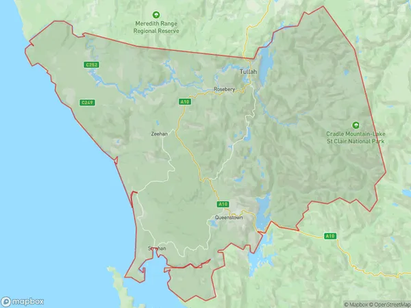
Rosebery, West Coast (Tas.), West Coast, West and North West, Tasmania, Australia, 7470
Rosebery Postcode
Area Name
RoseberyRosebery Suburb Area Map (Polygon)
Rosebery Introduction
Rosebery, West and North West is a suburb of Hobart, Tasmania, Australia. It is located 10 kilometers from the city center and is known for its natural beauty, including the Mount Wellington Range and the Derwent River. The suburb has a population of approximately 10,000 people and is home to a variety of businesses, including a shopping center, a hospital, and a university.State Name
City or Big Region
District or Regional Area
Suburb Name
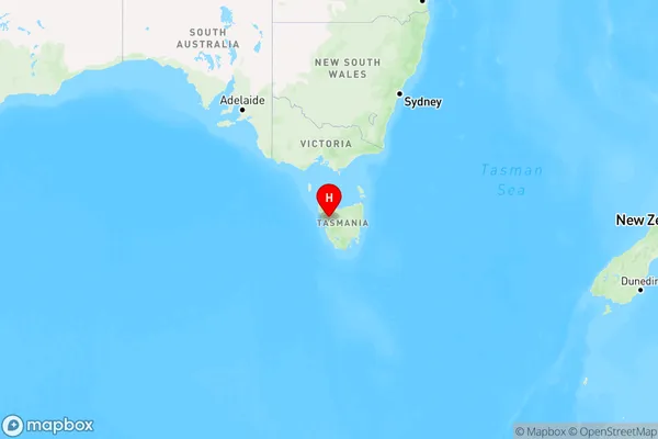
Rosebery Region Map
Country
Main Region in AU
R3Coordinates
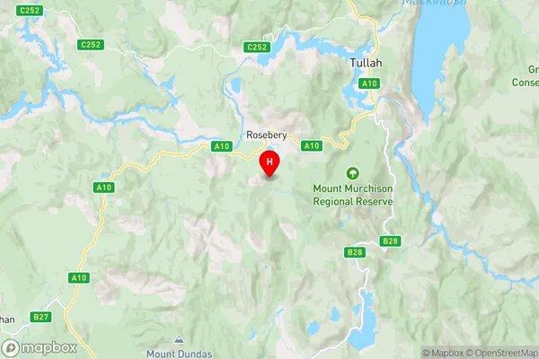
-41.8041385,145.5425955 (latitude/longitude)Rosebery Area Map (Street)
Longitude
145.500566Latitude
-41.902129Rosebery Elevation
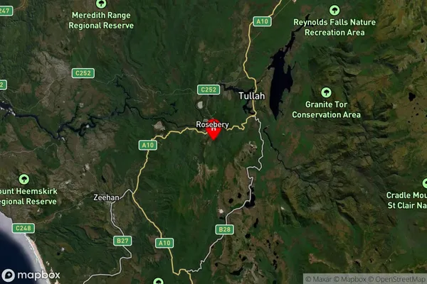
about 746.79 meters height above sea level (Altitude)Rosebery Suburb Map (Satellite)
Distances
The distance from Rosebery, West and North West, TAS to AU Greater Capital CitiesSA1 Code 2011
60403109715SA1 Code 2016
60403109715SA2 Code
604031097SA3 Code
60403SA4 Code
604RA 2011
4RA 2016
4MMM 2015
6MMM 2019
6Charge Zone
T1LGA Region
West CoastLGA Code
65610Electorate
Braddon