Holwell Area, Holwell Postcode(7275) & Map in Holwell, Launceston and North East, TAS
Holwell Area, Holwell Postcode(7275) & Map in Holwell, Launceston and North East, TAS, AU, Postcode: 7275
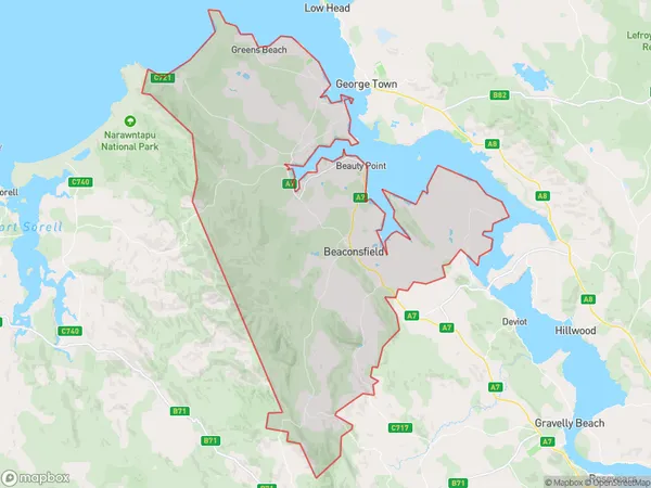
Holwell, Beauty Point - Beaconsfield, Meander Valley - West Tamar, Launceston and North East, Tasmania, Australia, 7275
Holwell Postcode
Area Name
HolwellHolwell Suburb Area Map (Polygon)
Holwell Introduction
Holwell, Launceston, and North East, TAS, AU, is a region in Tasmania, Australia, known for its natural beauty, including the Cataract Gorge and the Tamar Valley. It is home to many wineries, restaurants, and attractions, including the Tamar Island Wetlands and the Tasmanian Devil Unzoo.State Name
City or Big Region
District or Regional Area
Suburb Name
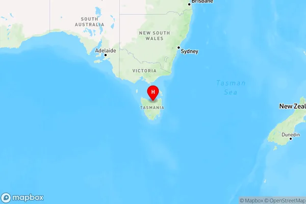
Holwell Region Map
Country
Main Region in AU
R3Coordinates
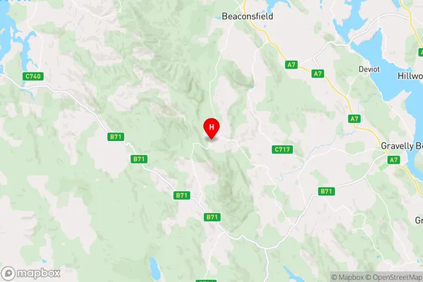
-41.2894932,146.7794756 (latitude/longitude)Holwell Area Map (Street)
Longitude
146.835317Latitude
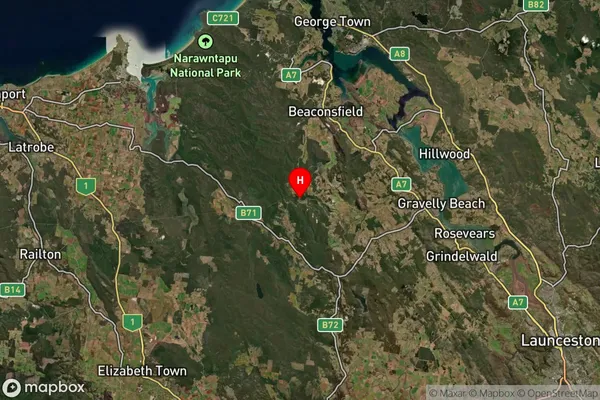
-41.319891Holwell Suburb Map (Satellite)
Distances
The distance from Holwell, Launceston and North East, TAS to AU Greater Capital CitiesSA1 Code 2011
60202105309SA1 Code 2016
60202105309SA2 Code
602021053SA3 Code
60202SA4 Code
602RA 2011
3RA 2016
3MMM 2015
5MMM 2019
5Charge Zone
T1LGA Region
West TamarLGA Code
65810Electorate
Lyons