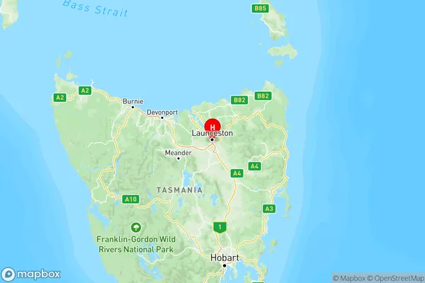
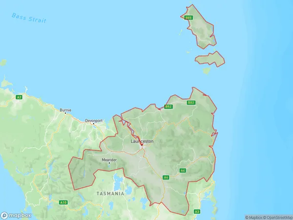
Launceston and North East Suburbs & Region, Launceston and North East Map & Postcodes
Launceston and North East Suburbs & Region, Launceston and North East Map & Postcodes in Launceston and North East, TAS, AU
Launceston and North East Region
Region Name
Launceston and North East (TAS, AU)Launceston and North East Area
19975 square kilometers (19,975 ㎢)Postal Codes
7211, 7212, 7214, 7216, from 7248 to 7250, from 7252 to 7255, from 7257 to 7265, 7267, 7268, 7276, 7277, from 7290 to 7292, and from 7300 to 7303 (In total, there are 31 postcodes in Launceston and North East.)Launceston and North East Introduction
Launceston and North East is a suburb of Launceston, Tasmania, Australia. It is located in the city's north-east and is bordered by the Tamar River to the north, the North Esk River to the east, and the Western Highway to the south. The suburb is home to a variety of amenities, including a shopping center, a hospital, a golf course, and several parks. It is also home to a number of historic buildings, including the Launceston General Hospital and the Old Town Hall.Australia State
City or Big Region
Launceston and North East Region Map

Launceston and North East Postcodes / Zip Codes
Launceston and North East Suburbs
Meander Valley West Tamar
Launceston and North East full address
Launceston and North East, Tasmania, TAS, Australia, SaCode: 602Country
Launceston and North East, Tasmania, TAS, Australia, SaCode: 602
Launceston and North East Suburbs & Region, Launceston and North East Map & Postcodes has 3 areas or regions above, and there are 183 Launceston and North East suburbs below. The sa4code for the Launceston and North East region is 602. Its latitude and longitude coordinates are -41.4542,147.141.
Launceston and North East Suburbs & Localities
1. Inveresk
2. Kings Meadows
3. Elphin
4. Legana
5. Exton
6. Gravelly Beach
7. Carrick
8. Westwood
9. Hadspen
10. Bracknell
11. Liffey
12. Blessington
13. Windermere
14. Bangor
15. Myrtle Bank
16. Lilydale
17. Lebrina
18. White Hills
19. Long Reach
20. Epping Forest
21. Powranna
22. Upper Esk
23. Akaroa
24. Eddystone
26. Cape Barren Island
27. Nabowla
28. Waterhouse
29. Trenah
30. Banca
31. Branxholm
