Hadspen Area, Hadspen Postcode(7290) & Map in Hadspen, Launceston and North East, TAS
Hadspen Area, Hadspen Postcode(7290) & Map in Hadspen, Launceston and North East, TAS, AU, Postcode: 7290
Hadspen, Hadspen - Carrick, Meander Valley - West Tamar, Launceston and North East, Tasmania, Australia, 7290
Hadspen Postcode
Area Name
HadspenHadspen Suburb Area Map (Polygon)

Hadspen Introduction
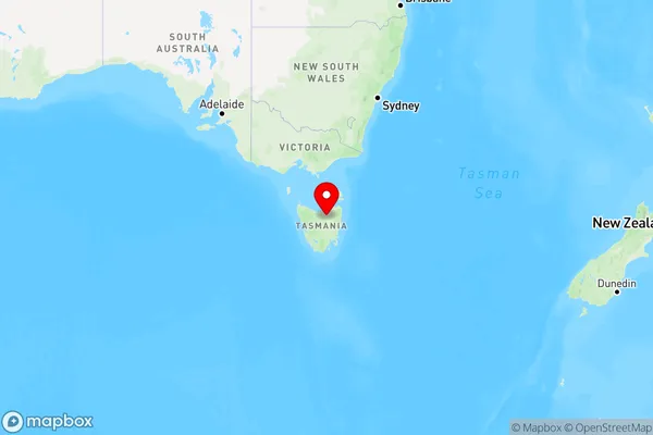
Hadspen, Launceston, and North East, TAS, AU, is a region in Tasmania, Australia, known for its natural beauty, including the Cataract Gorge and the Tamar Valley. It is also home to several historic sites, including the Hadspen Convict Settlement and the Launceston General Hospital.State Name
City or Big Region
District or Regional Area
Suburb Name
Hadspen Region Map
Country
Main Region in AU
R3Coordinates
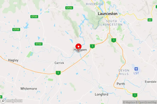
-41.5100237,147.0610516 (latitude/longitude)Hadspen Area Map (Street)
Longitude
147.068603Latitude
-41.512507Hadspen Elevation
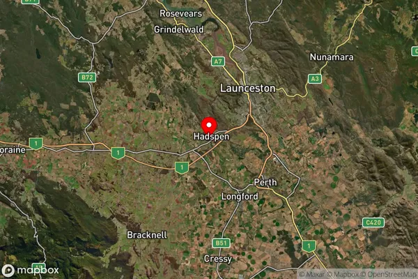
about 160.26 meters height above sea level (Altitude)Hadspen Suburb Map (Satellite)
Distances
The distance from Hadspen, Launceston and North East, TAS to AU Greater Capital CitiesSA1 Code 2011
60202105606SA1 Code 2016
60202105606SA2 Code
602021056SA3 Code
60202SA4 Code
602RA 2011
2RA 2016
2MMM 2015
2MMM 2019
2Charge Zone
T1LGA Region
LauncestonLGA Code
64010Electorate
Lyons