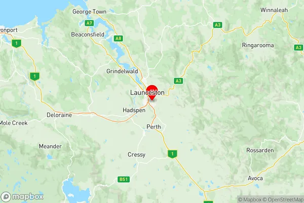
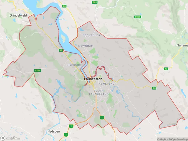
Launceston Suburbs & Region, Launceston Map & Postcodes
Launceston Suburbs & Region, Launceston Map & Postcodes in Launceston, Launceston and North East, TAS, AU
Launceston Region
Region Name
Launceston (TAS, AU)Launceston Area
260.71 square kilometers (260.71 ㎢)Postal Codes
7249 (In total, there are 1 postcodes in Launceston.)Launceston Introduction
Launceston is the second-largest city in Tasmania, Australia. It is located in the north-east of the island and is known for its historic architecture, including the Old Town Hall and the Cataract Gorge. The city is home to a variety of industries, including manufacturing, agriculture, and tourism. It is also a popular destination for outdoor activities, such as hiking, skiing, and fishing. The city has a population of around 200,000 people and is the administrative center of the Launceston and North East region.Australia State
City or Big Region
District or Regional Area
Launceston Region Map

Launceston Postcodes / Zip Codes
Launceston Suburbs
Kings Meadows Punchbowl
Launceston full address
Launceston, Launceston and North East, Tasmania, TAS, Australia, SaCode: 60201Country
Launceston, Launceston and North East, Tasmania, TAS, Australia, SaCode: 60201
Launceston Suburbs & Region, Launceston Map & Postcodes has 3 areas or regions above, and there are 6 Launceston suburbs below. The sa3code for the Launceston region is 60201. Its latitude and longitude coordinates are -41.4706,147.163.
Launceston Suburbs & Localities
1. Kings Meadows
2. South Launceston
3. Youngtown
4. Sandhill
5. Glen Dhu
6. Punchbowl
