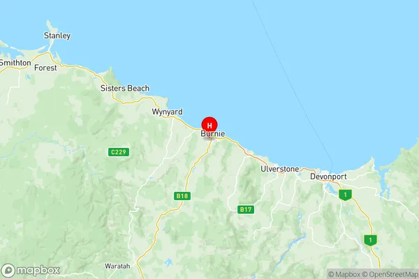
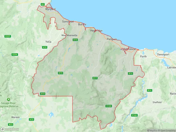
Burnie Ulverstone Suburbs & Region, Burnie Ulverstone Map & Postcodes
Burnie Ulverstone Suburbs & Region, Burnie Ulverstone Map & Postcodes in Burnie Ulverstone, West and North West, TAS, AU
Burnie Ulverstone Region
Region Name
Burnie Ulverstone (TAS, AU)Burnie Ulverstone Area
1604 square kilometers (1,604 ㎢)Burnie Ulverstone Introduction
Burnie Ulverstone is a locality in the West and North West Tasmania local government areas, Australia. It is located in the Burnie-Devonport municipal area. The town is situated on the Bass Strait coast, approximately 250 km northwest of Hobart. Burnie Ulverstone was named after the explorer William Ulverstone. The town has a population of around 20,000 people and is known for its industrial and manufacturing sectors. It is home to several major companies, including BHP, BlueScope Steel, and Alcoa. The town also has a popular tourist attraction, the Burnie Regional Art Gallery, which showcases local and international art.Australia State
City or Big Region
District or Regional Area
Burnie Ulverstone Region Map

Burnie Ulverstone Suburbs
Acton Upper Burnie
Penguin Sulphur Creek
Romaine Havenview
Burnie Ulverstone full address
Burnie Ulverstone, West and North West, Tasmania, TAS, Australia, SaCode: 60401Country
Burnie Ulverstone, West and North West, Tasmania, TAS, Australia, SaCode: 60401
Burnie Ulverstone Suburbs & Region, Burnie Ulverstone Map & Postcodes has 3 areas or regions above, and there are 0 Burnie Ulverstone suburbs below. The sa3code for the Burnie Ulverstone region is 60401. Its latitude and longitude coordinates are -41.0701,145.894.
