Penguin Sulphur Creek Suburbs & Region, Penguin Sulphur Creek Map & Postcodes
Penguin Sulphur Creek Suburbs & Region, Penguin Sulphur Creek Map & Postcodes in Penguin Sulphur Creek, Burnie Ulverstone, West and North West, TAS, AU
Penguin Sulphur Creek Region
Region Name
Penguin Sulphur Creek (TAS, AU)Penguin Sulphur Creek Area
64.16 square kilometers (64.16 ㎢)Postal Codes
7316 (In total, there are 1 postcodes in Penguin Sulphur Creek.)Penguin Sulphur Creek Introduction
Penguin Sulphur Creek is a small hydroelectric power station in Tasmania, Australia. It is located on the Sulphur Creek River, a tributary of the Mersey River. The power station has a capacity of 1.5 megawatts and was built in 1984. The station is owned and operated by Hydro Tasmania. The water from the Sulphur Creek River is used to turn a turbine, which generates electricity. The electricity is then sent to the Tasmanian power grid. The station is an important source of renewable energy for Tasmania and helps to reduce the state's reliance on fossil fuels.Australia State
City or Big Region
Greater Capital City
Rest of Tas. (6RTAS)District or Regional Area
Suburb Name
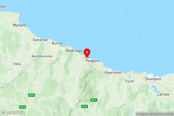
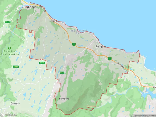
Penguin Sulphur Creek Region Map

Penguin Sulphur Creek Postcodes / Zip Codes
Penguin Sulphur Creek Suburbs
Penguin Sulphur Creek full address
Penguin Sulphur Creek, Burnie Ulverstone, West and North West, Tasmania, TAS, Australia, SaCode: 604011079Country
Penguin Sulphur Creek, Burnie Ulverstone, West and North West, Tasmania, TAS, Australia, SaCode: 604011079
Penguin Sulphur Creek Suburbs & Region, Penguin Sulphur Creek Map & Postcodes has 0 areas or regions above, and there are 5 Penguin Sulphur Creek suburbs below. The sa2code for the Penguin Sulphur Creek region is 604011079. Its latitude and longitude coordinates are -41.1053,146.048. Penguin Sulphur Creek area belongs to Australia's greater capital city Rest of Tas..
Penguin Sulphur Creek Suburbs & Localities
1. Howth
2. Penguin
3. Preservation Bay
4. Sulphur Creek
5. Heybridge
